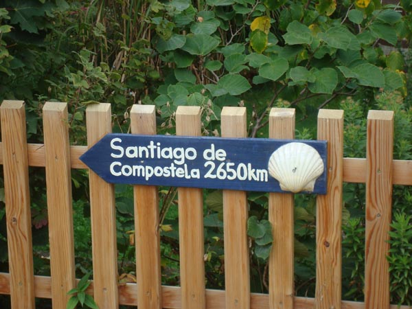
Camino de Santiago
During my Spanish language studies, I became aware of the Camino de Santiago. The camino is a currently well marked series of hiking trails across Spain and other parts of Europe which have been used in medieval times for pilgrimages to go to the city of Santiago de Compostella which is located in the north west corner of Spain (Galicia). Since the middle ages, it is believed that the relics (bones) of Saint James, an apostle of Christ, are held in the crypt of the cathedral in that city. The name Santiago is derived from the words for Saint James in the Portugese-Galician language (Santo Iago) which was spoken in this region at that time. Santiago became the 3rd most visited site (after Jerusalem and Rome) to which Christians made pilgrimages. Listed below are some web sights which describe the history and current use of the camino by modern day pilgrims and hikers.
www.santiago-compostela.net
www.pilipalapress.com/camino/info.html
www.caminodesantiago.me.uk
www.humnet.ucla.edu/santiago/iagohome.html
In October of 2003, I decided to walk the last 100 miles (160 km) of the camino during a trip I was making to Salamanca, Spain to study Spanish. The walk was not for any religious purpose but rather an extension of my interests in backpacking and to have an opportunity to better understand the history of the medieval period in which the camino was founded. After completing the hike, I was so enthralled with the concept of walking these ancient pilgrim routes that I decided to hike more of the camino. Below is a map of the portions walked as of the end of 2010 and a time line of my solo walks.
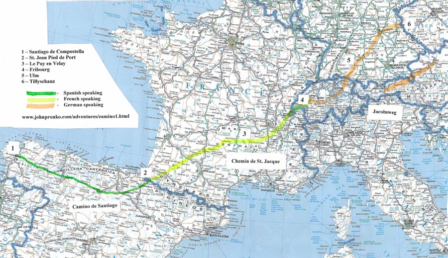
This map depicts the route of the camino that I walked since October 2003. It passes through 5 different countries and 3 language regions.
October 2003 – from O’Cebreiro, Spain to Santiago, Spain
March 2004 – from Pamplona, Spain to Burgos, Spain
October 2004 – from St. Jean Pied du Port, France to Pamplona, Spain
October 2004 – from Burgos, Spain to O’Cebreiro, Spain
October 2005 – from Le Puy, France to St. Jean Pied du Port, France
September 2006 – from Fribourg, Switzerland to Le Puy, France
September 2007 – from Ulm, Germany to Giswil, Switzerland
September 2008 – from Czech/German border (Tillyschanz) to Ulm,Germany
October 2009 – from Giswil, Switzerland to Fribourg, Switzerland
September 2010 – from Linz, Austria to Innsbruck, Austria
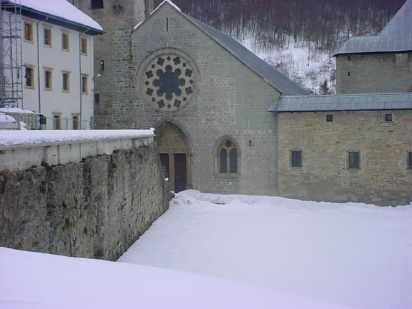
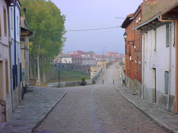
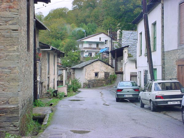
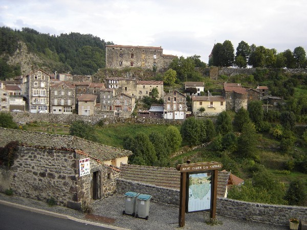
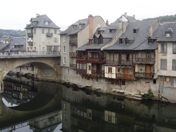
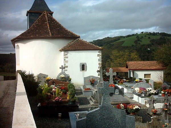
O’Cebreiro to Santiago
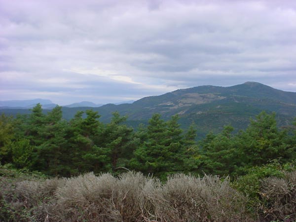
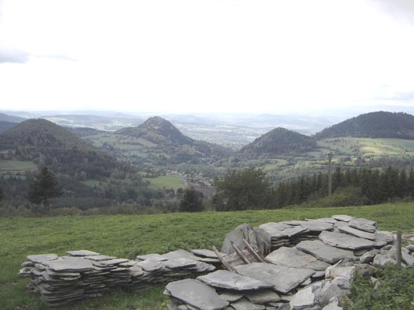
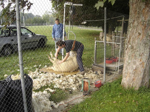
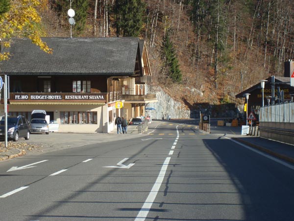
The portion of the Camino de Santiago that I walked is part of the “Camino Frances” which crosses northern Spain from St. Jean Pied du Port to Santiago de Compostella. In order to prepare for the walk, I read as many of the guide books as I could find. For the trip, I packed two roller duffel bags. One bag contained my ordinary travel things for my studies and stay in Spain while the other contained those things needed for the walk. I flew from California to Santiago via Madrid. Once in Santiago I toured the city and familiarized myself with facts about the camino and the coming walk. After an over night stay at a local hotel, I left my non hiking things at the hotel for storage and took a bus to Pedrafita, a town at the foot of the mountain on which the village of O’Cebreiro was located. As soon as I left the bus, it began to drizzle and I walked the 7 km up the mountain in a light rain. The back pack which included a sleeping bag, changes of clothing, water, cell phone, gps, and other necessary as well as unnecessary things. weighed about 26 lbs (~12 kg). I was using my standard back packing equipment for this venture minus a tent and stove. A few hours after leaving the bus drop off, I reached the village of O’Cebreiro and the refugio where I spent the night with other hikers and pilgrims. The area was totally engulfed in fog and nothing could be seen of the Galician hills ahead of me.

There are more pictures of O’Cebreiro taken on a subsequent walk.
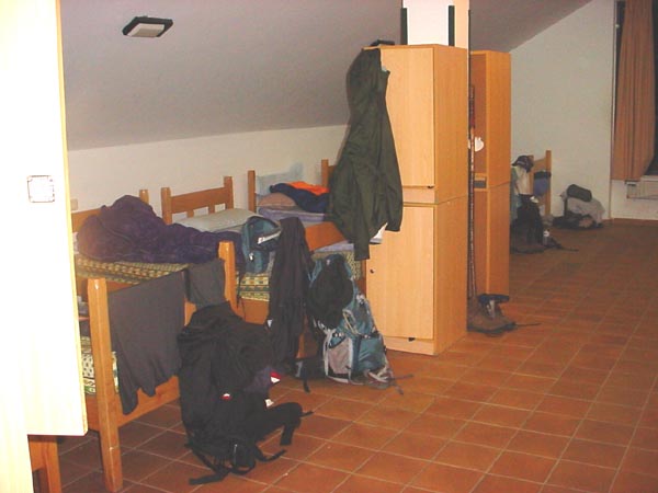
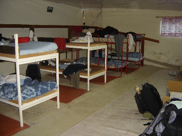
A typical refugio dorm room.
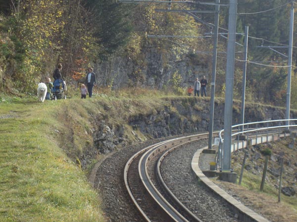
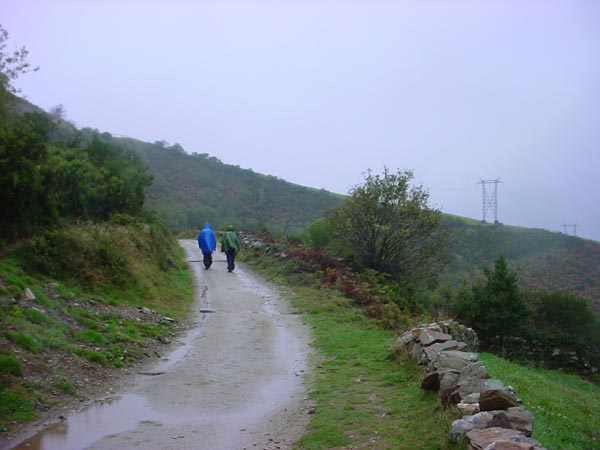 Some pilgrims set out the following morning.
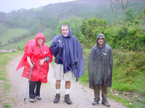
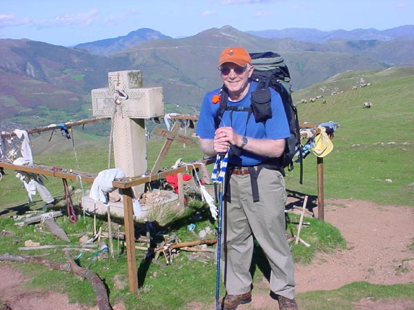
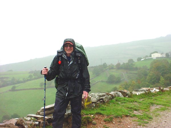 John in full rain gear the first morning.
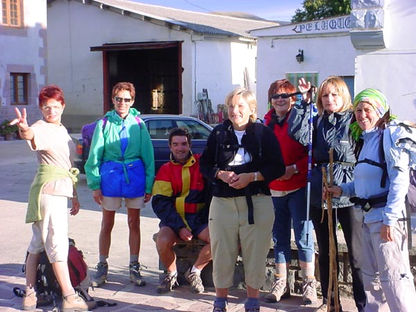
Some pilgrims that I met on the camino.
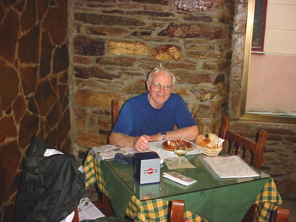
My favorite meal of “Pulpo Gallego” (sliced octopus in the Galician style).
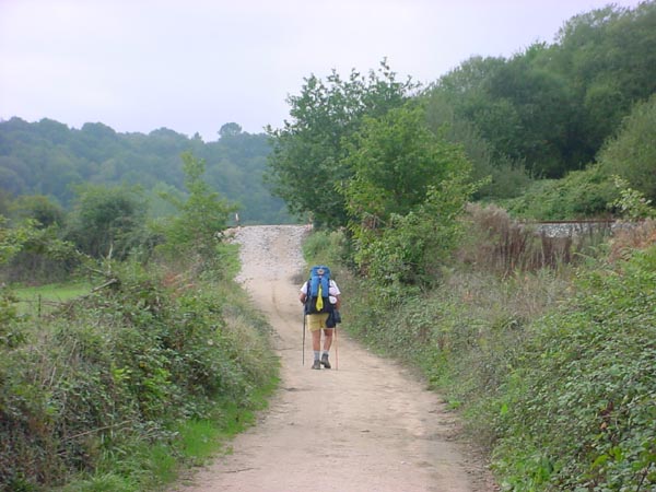
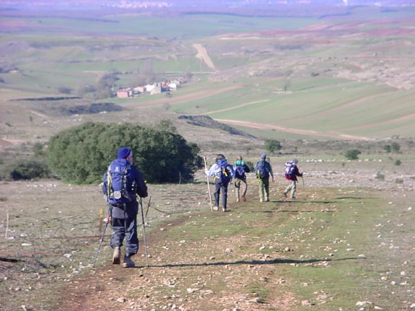
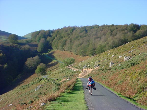
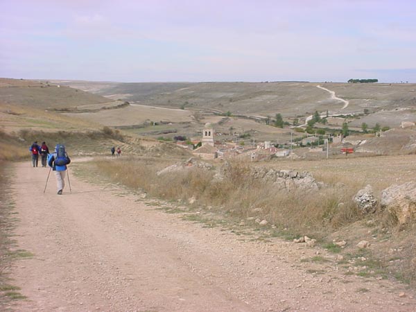
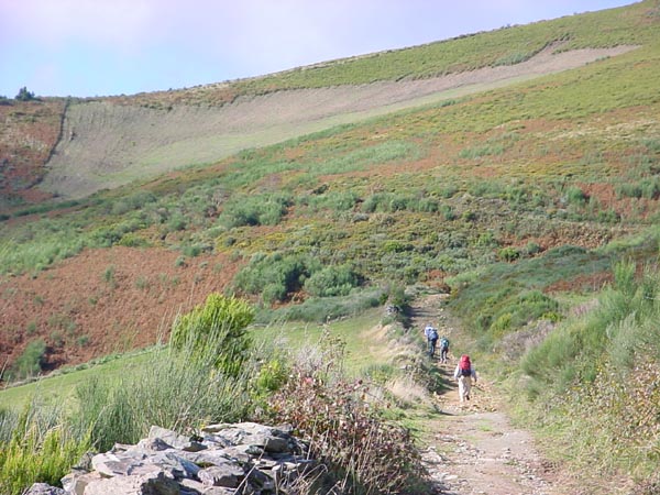
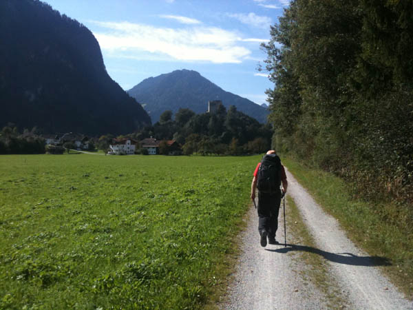
A lone hiker on the trail.
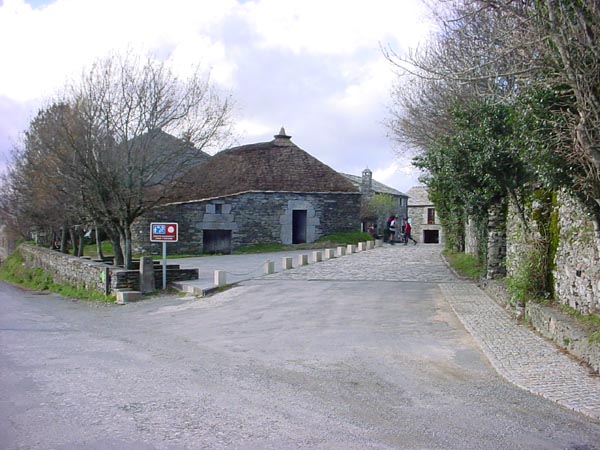
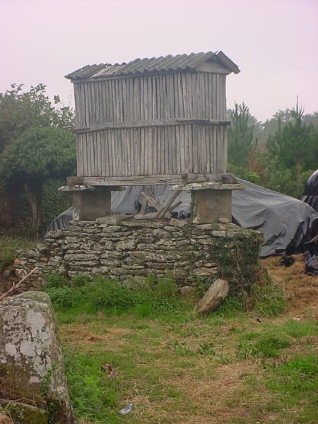 A typical Horreo used for grain storage. Creatures can not climb up the sides of the rock slabs.
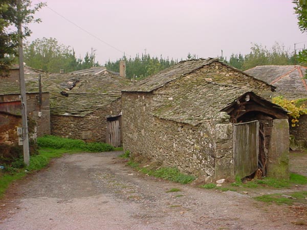
Some of the stone farm buildings seen along the way.
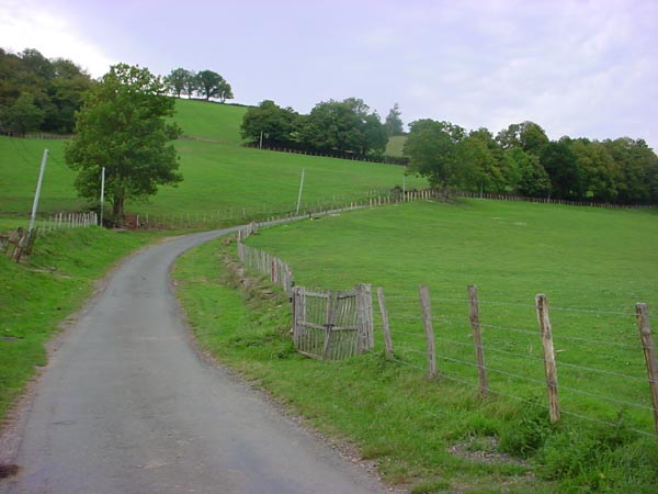
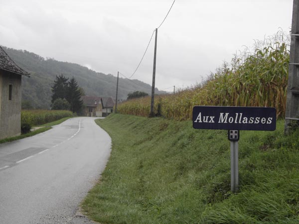
The camino passes through a farmer’s property.
Some choose to do the camino on bicycles.
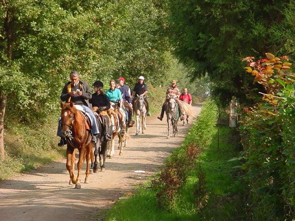
Some choose to do the camino on horse back.
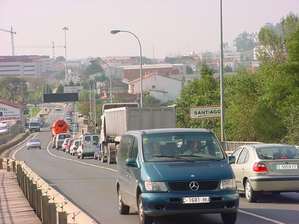 Entering the out skirts of Santiago.

I arrive at the cathedral in Santiago after 6 days of walking.
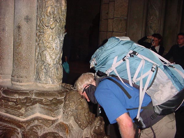 John partaking in the pilgrim traditions at the cathedral.
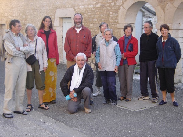
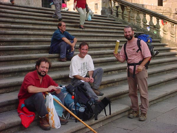 Some of my camino friends after we received our “Pilgrim Cerificates”.
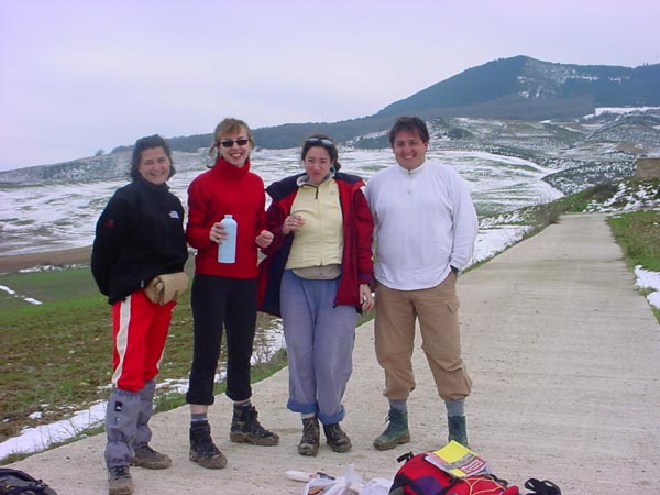
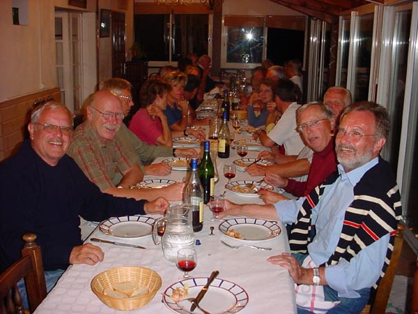
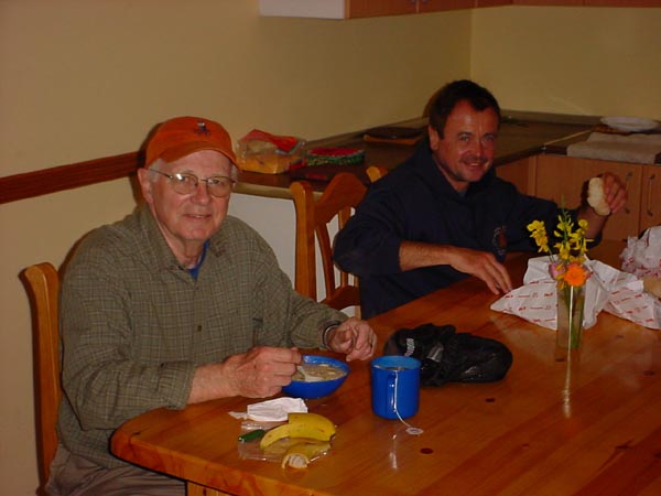
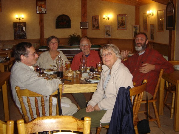
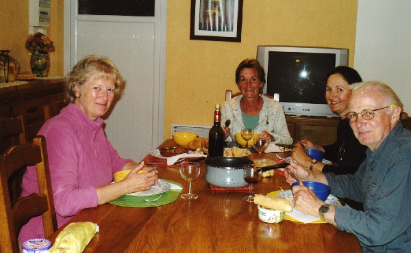
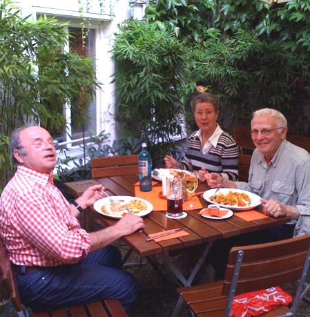
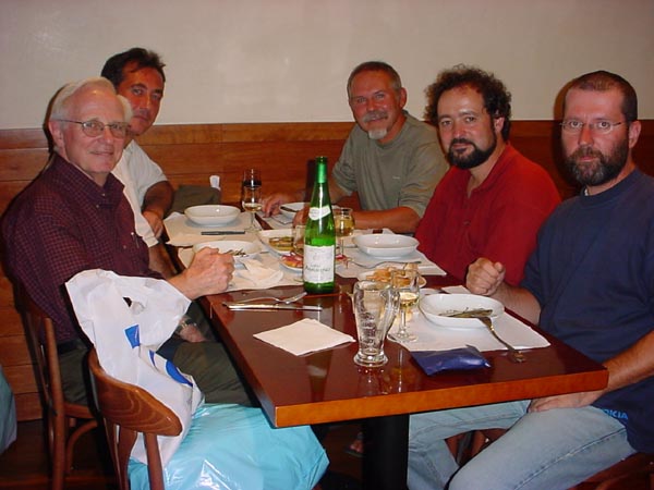 Dinner with some of my camino friends. (Two Americans, two Spaniards, and an Austrian)
Camino de Santiago
Pamplona to Burgos
In March 2004, I flew back to Spain via Madrid to Pamplona. My intention was to walk from St. Jean Pied du Port in France to Burgos, Spain. I rented a car and drove to St. Jean to check things out only to find that it was much too early in the year to walk over the Pyrennes to Roncesvalles, Spain. The pass was snowed in. I returned to Pamplona where I stayed over night. The following morning I returned the rental car and began my walk to Burgos.
 One of the villages along the road between St. Jean and Roncesvalles. Some pilgrims followed the highway which was narrowly plowed with no room for walking on the should
 A picture of some of the church buildings in Roncesvalles. It was still completely snowed in and I made the decision to walk the part between St. Jean and Pamplona in the fall.
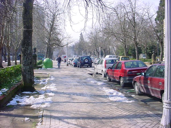 The streets of Pamplona as I walked toward the edge of town.
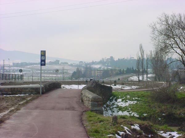
Leaving Pamplona with the camino way signs clearly visible ahead.
 The trail went through this field of mud and snow.
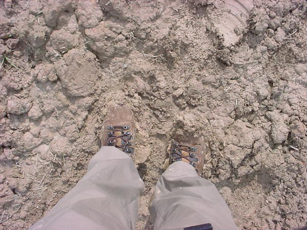 The mud had a peculiar consistency which made more mud stick to the boot with each step.
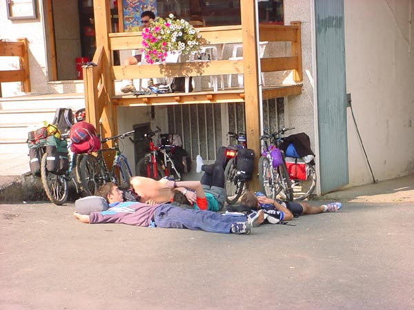
 Shortly after leaving Pamplona, I met some hikers taking a well earned lunch break. Three of them were from Spain while the fourth was from Scotland.
It was during the next day’s walk that we heard about the Madrid bombings.
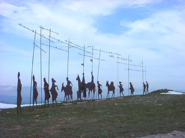 The metal pilgrim statues on the Mount Perdon pass.
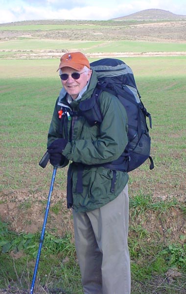 John dressed for the weather.
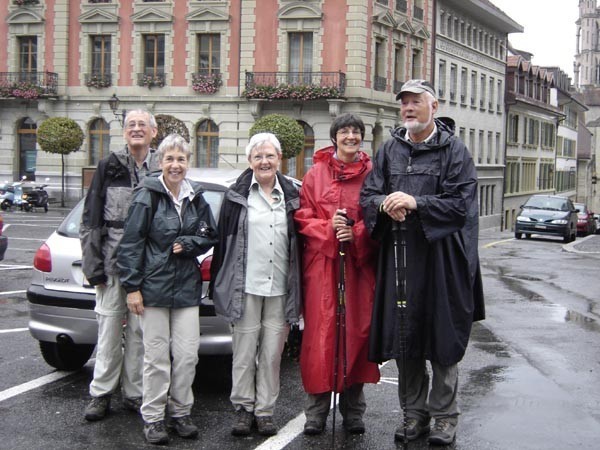
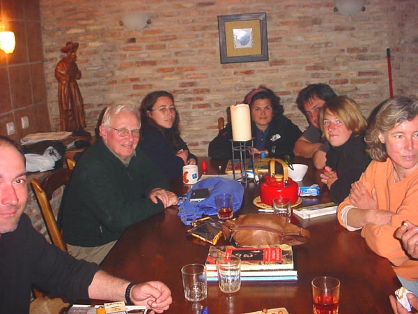 An evening of comradry at the Ventosa Refugio. The group consisted
of two Germans, a Brazilian, two Americans, and Spaniards.
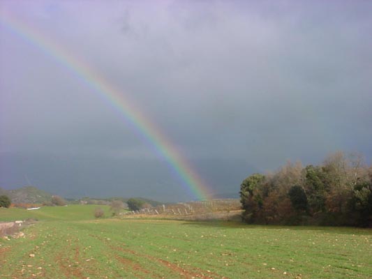
One of the many rainbows seen along the way.
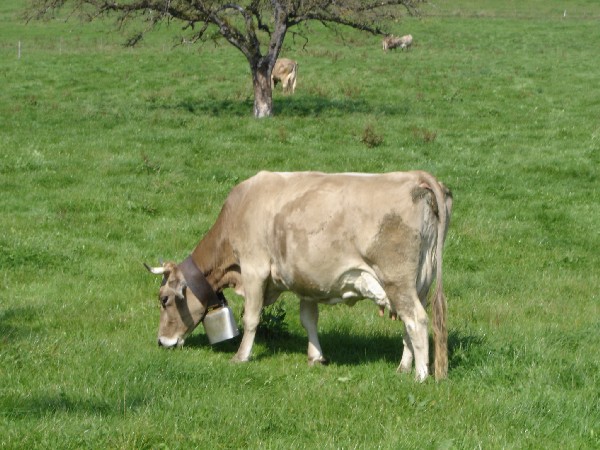
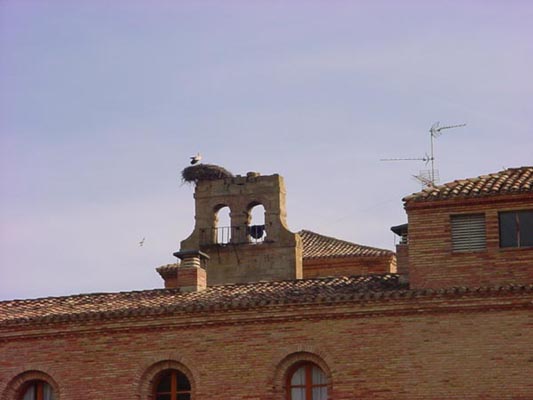 A stork at her nest. This is a very common sight in this part of Spain.
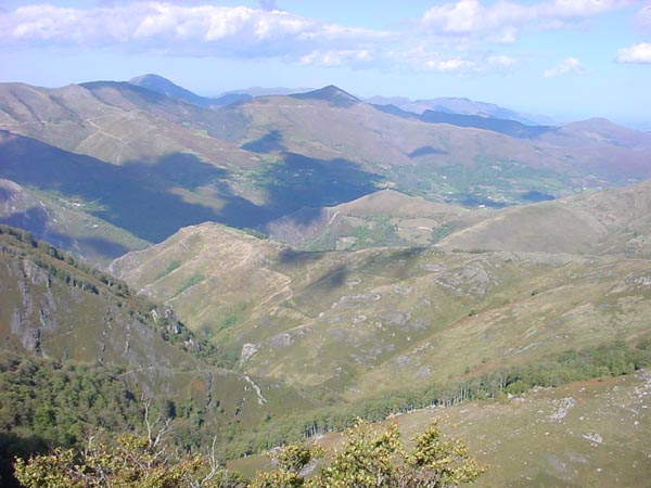
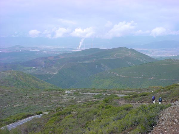
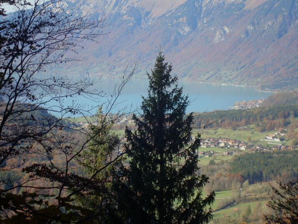
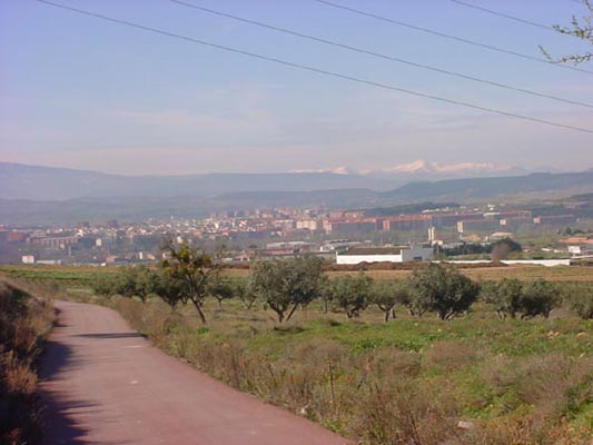 The Picos de Europa mountain range on the northern horizon.
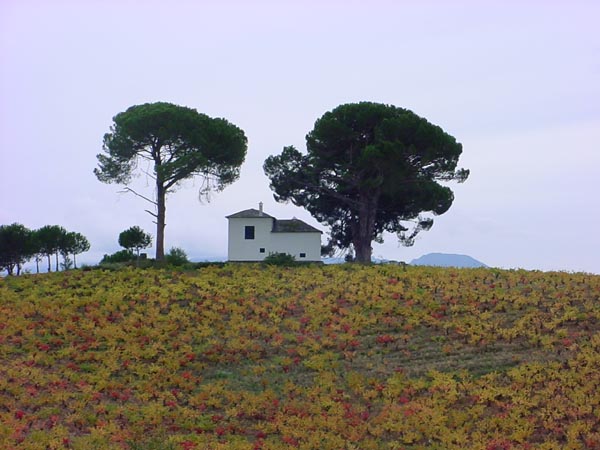
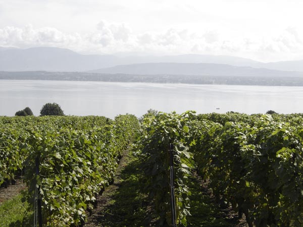
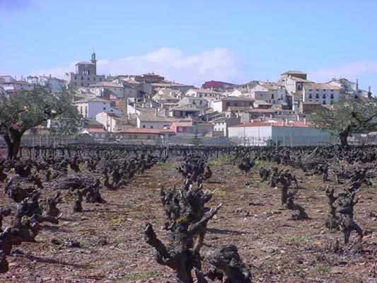 Mature grape vine plants at the base of a picturesque village.
 Some of my pilgrim friends as we approached Burgos off in the distance.
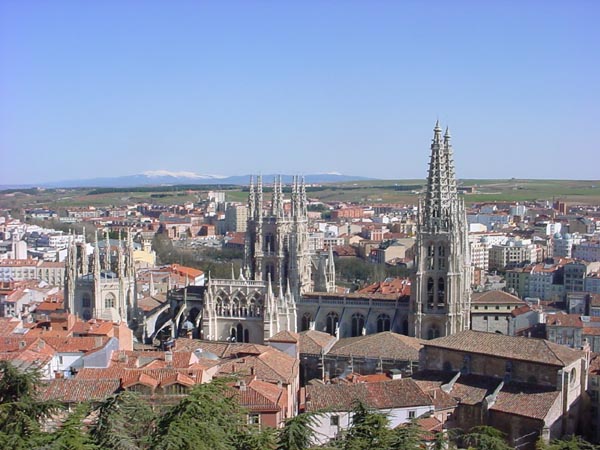
The cathedral in Burgos. The mountains that we just came through can be seen off in the distance.
The ~140 miles (226 Km) of this portion of the camino was completed in 10 days. I toured more of Spain via rental car after the “pilgramage” was completed.
Camino de Santiago
St. Jean Pied du Port to Pamplona
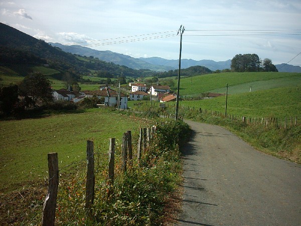
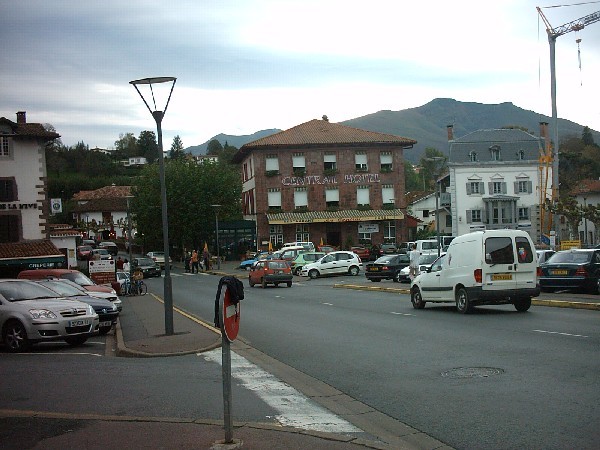
In October of 2004 I returned to Pamplona to walk the portion from St. Jean Pied du Port to Pamplona, the portion that I could not do in the spring due to the heavy snow fall that winter. After a night in Pamplona, I hired a taxi to take me to St. Jean where I would began my walk to Pamplona. Since I arrived mid afternoon, I had the choice to stay over night in St Jean and start the next morning or head off that afternoon. I chose to call ahead and make reservations at the Gite Ferme Ithurburia in Honto (Untto) and start off that afternoon. That gave me a 5.5 km head start on the 25 km walk to Roncesvalles. In this crossing to Roncesvalles one starts at 556 ft (170 m) elevation in St Jean then goes up to 4761 ft (1450 m) elevation at the highest point then goes down to Roncesvalles at 3084 ft (940 m) elevation. This route over the Pyrennes is referred to as the Napoleanic Route and was used by Napolean when he crossed into Spain. I was extremely fortunate to have been blessed with perfect weather for this crossing of the Pyrennes.
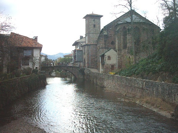
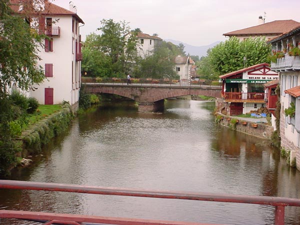 A view of the river passing through St. Jean Pied du Port.
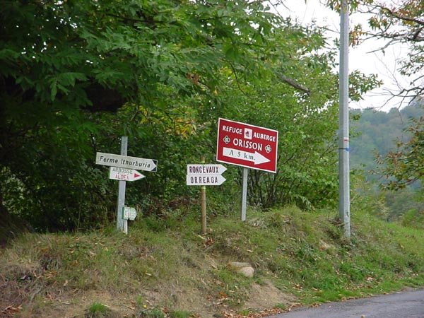
Sign posts on the way out of town. Note the red and white striped bars on the electric pole. This is what is used in France to mark the camino instead of the yellow arrows that are used in Spain.
The camino on the way to Honto.
 A view of the Gite Ferme Ithuburia.
Dinner at the Gite. The six gentlemen sitting at the near end of the table were from Germany. They started their walk in Le Puy and had a unique way of traveling. A different person was asigned each day to drive the van containing all their belongings to the next over night spot while the other five walked. The group at the far end of the table were from France.
 A view of the camino and a pilgrim as I climbed in elevation on the following day.
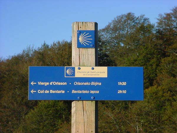 A camino sign post in French and the Basque language. This border region in France and Spain is known as the Basque region where their native language is spoken.
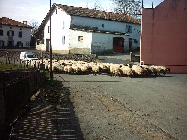
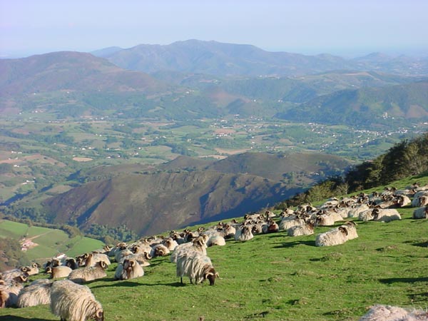 There were flocks of sheep at various locations during the walk. The sheep in each flock bore a particular painted identification stripe on their side.
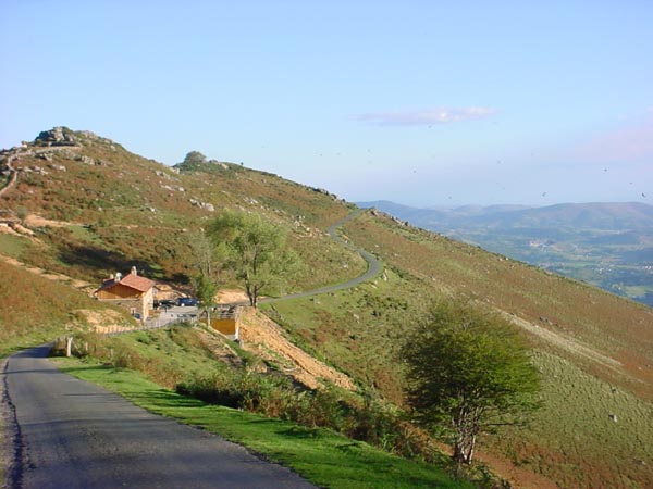
The camino continued to follow a narrow black top road.
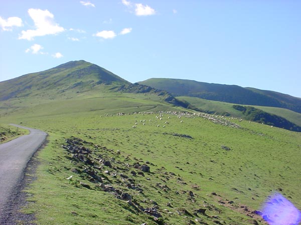
More sheep off in the distance.
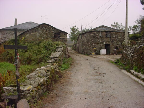
John at one of the many crosses found on the camino. Pilgrims often leave momentos at such locations but this one looks like they left a lot of litter.
A view back towards St. Jean Pied du Port.
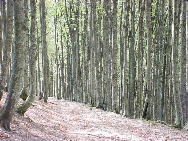
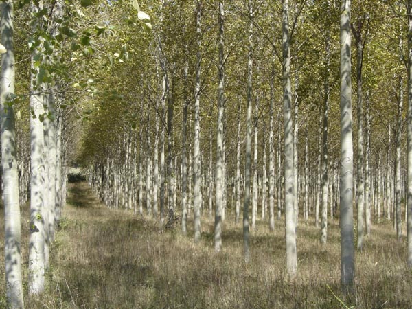
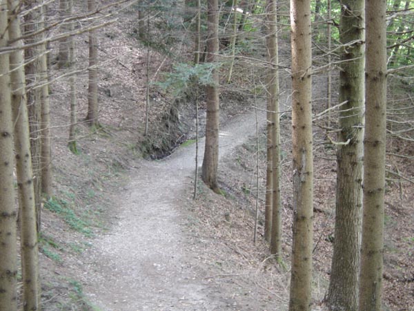
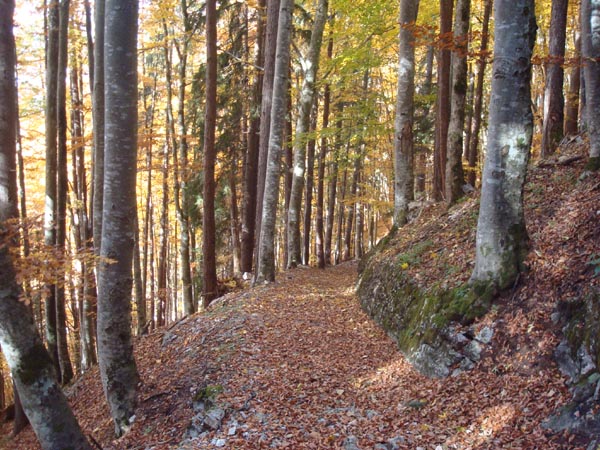
The camino passes through a beautiful birch forest near the Spanish/French border.
Part of the cluster of buildings in Roncesvalles.
The Roncesvalles refugio.
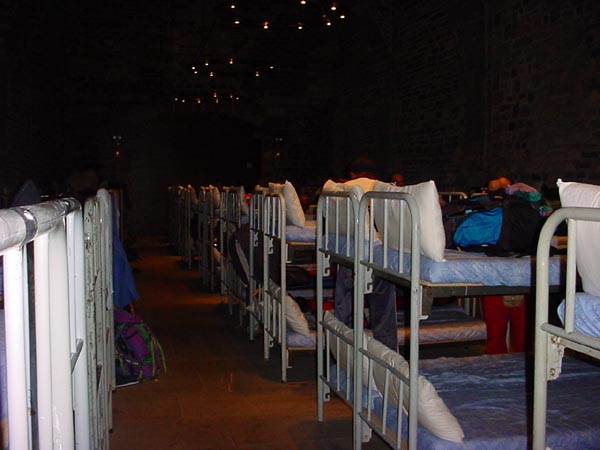
Inside the Roncesvalles refugio.There are 50 double decker beds in one large room with showers and toilets in the basement
Some of my French friends on our way to Pamplona. I met them at the Gite Ferme Ithuburia. They were more than happy to help me learn a bit more French
Justin and Marni from Great Britain.
Some of the country side between Roncesvalles and Pamplona.
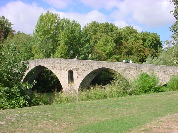
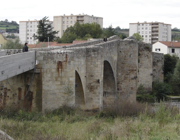
Entering Pamplona via the medieval bridge.
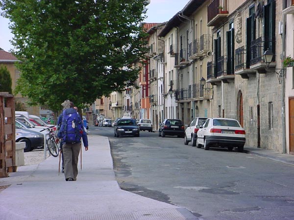
Entering Pamplona city limits.
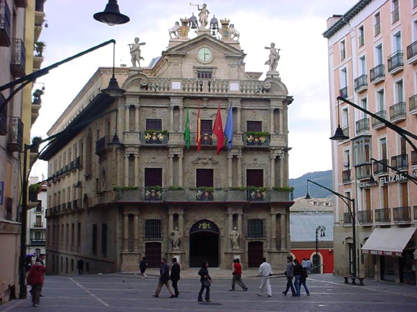
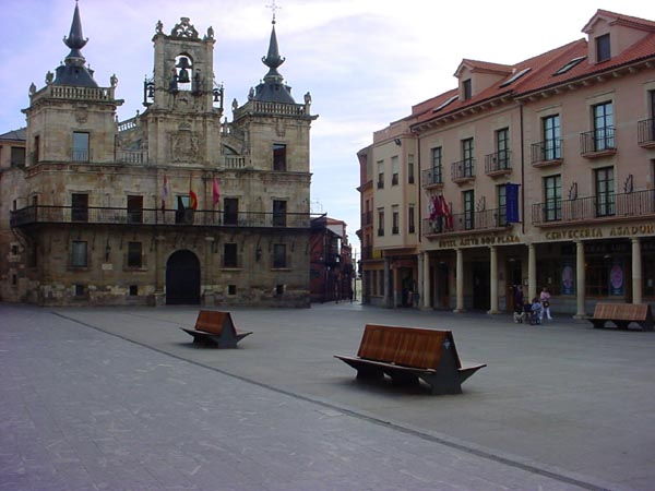
Pamplona City Hall.
This portion of the camino was 73 km (~46 miles) and was completed in 3 days of walking.
Camino de Santiago
Burgos to O’Cebreiro
After completing the portion between St. Jean and Pamplona, I immediately took a bus to Burgos where I started walking to O’Cebreiro. The initial portion of this part of the camino (between Burgos and Lyon) is known for open fields, high winds, dry conditions, and relatively flat terrain. It is often avoided by hikers who are short on time.
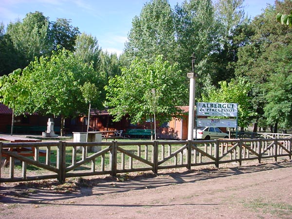 The pilgrim refugio (albergue) on the outskirts of Burgos.
 Pilgrim friends Gloria (Spain) and Martin (Austria) on the camino in Castrojeriz.
 The camino follows dirt roads in this part of Spain.
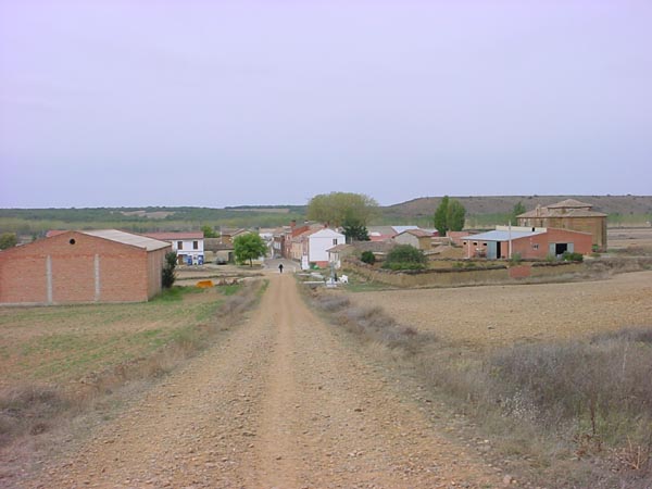 The camino follows the road through the village.
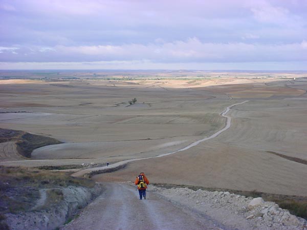
 A view of the camino.
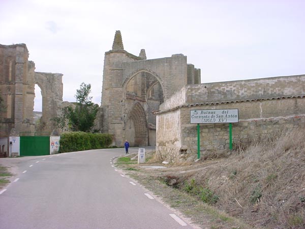 Some medieval ruins along the camino.
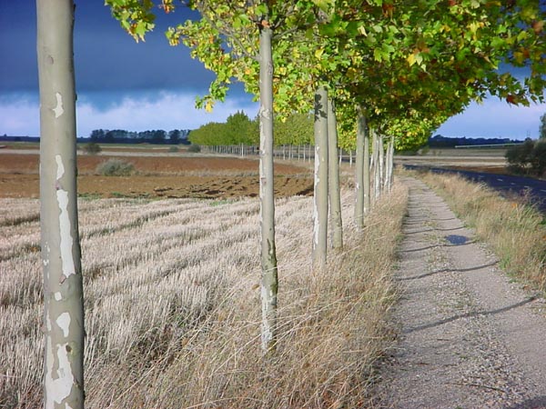 A tree lined camino.
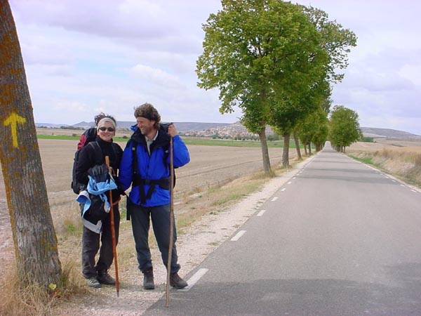
 A couple from the Netherlands on a very wind swept day. They took three months off from their academic jobs to walk to Santiago from the Netherlands.
 Wine caves at the entrance to the village of Reliego.
 Breakfast at the refugio in Reliego.
 A river crossing in a village before Astorga.
 The town center in Astorga.
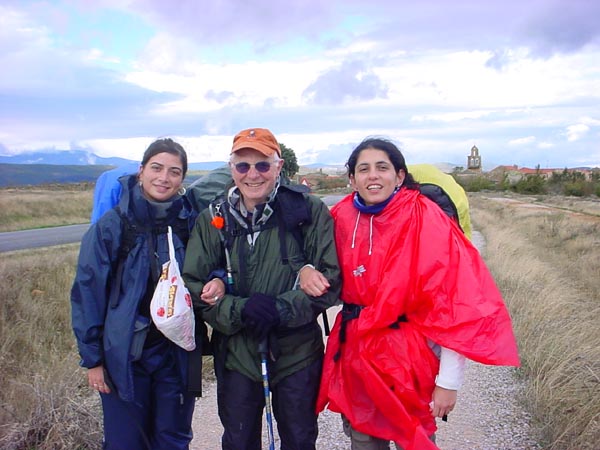 Some of my lady pilgrim friends from the Spanish city of Malaga.
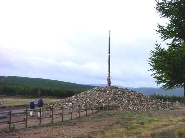 The Cruz de Fero, an iron cross atop an oak pole erected at an elevation of 1505 m.
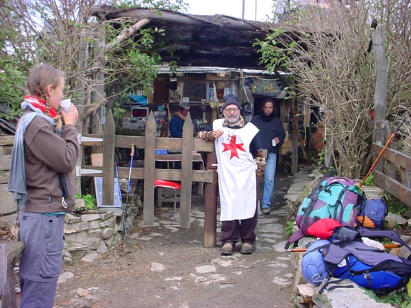 Thomas administers to pilgrims at his humble abode near Manjarin.
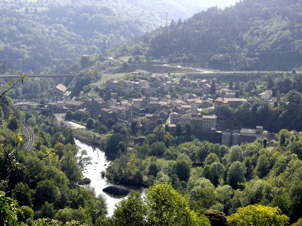
 The city of Ponferrada off in the distance.
 A chapel between Ponferrada and Villa Franca.
 The entrance to the town of Villa Franca.
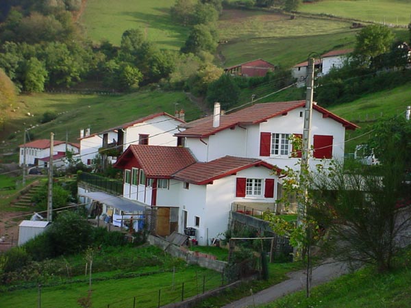
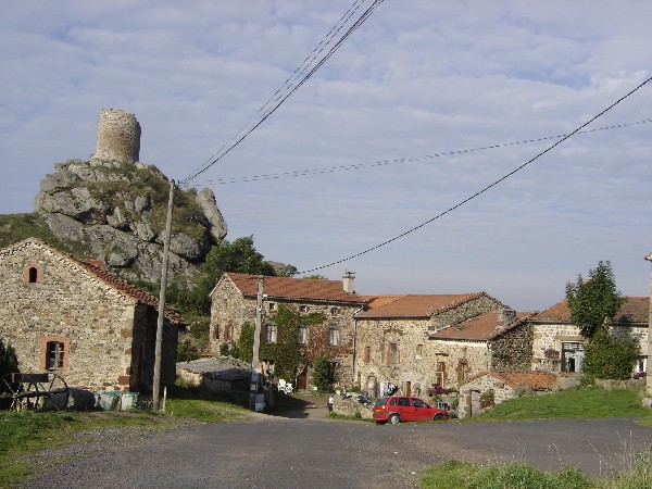
 A village at the base of the climb up to O’Cebreiro.
 A view of the climb up to the village of O’Cebreiro.
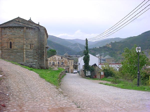
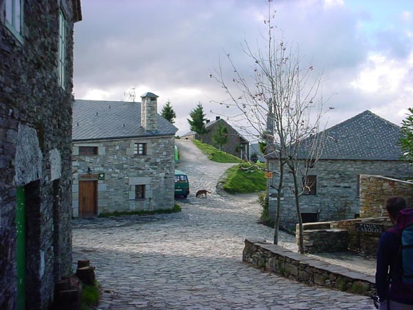
 The entrance to the village of O’Cebreiro.
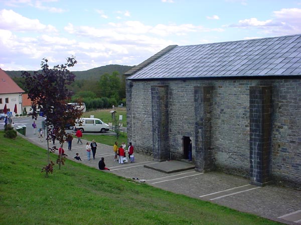
The stone refugio building on the hill in the village of O’Cebreiro. This is where I ended the walk.
This portion of the camino was 352 km (~220 miles) and was completed in 14 days of walking.
Camino de Santiago
Le Puy-en-Velay to St. Jean Pied-de-Port (France)
Having completed the walk across Spain on the Camino de Santiago in 3 stages, it was time to walk the French portion. I flew to Paris on 21 September 2005 and then took a train to Le Puy. After a night in Le Puy I began the long stretch across southern France to St. Jean Pied de Port located on the French/Spanish border
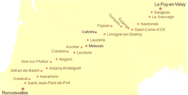 The towns through which the trail passes between Le Puy and St. Jean Pied du Port.
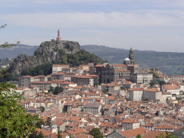 A view of a portion of Le Puy en Velay. The area consists of many former volcanoes on which religious structures have been built. The structure in this picture is that of the Virgin Mary.
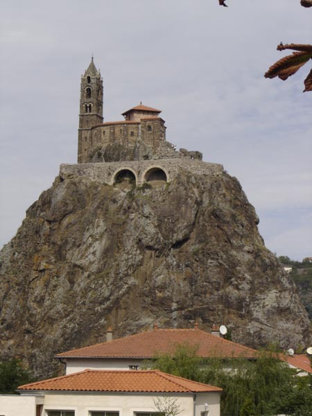
A church built on the tip of an old volcano.
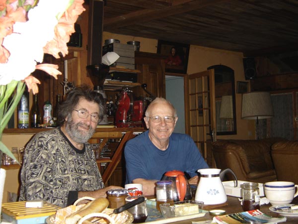
 I met Georges the first night on the trail at the pilgrim hostel (Gite Courbourne) in St. Prival de Allier. He was Frenchman from Clermond Ferrand and was also on his way to St. Jean Pied du Port. Through his limited English and my limited French we became instant friends. He had a tremendous sense of humor and we had a lot in common. We were both 68 years old at that time, left our wives at home, and were walking alone. Despite our solo walking, we encountered each other many times during the next month of walking and often enjoyed meals together and the same over night facilities.
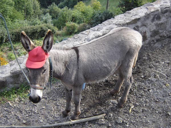 A donkey resting along the way.
 The village of St. Prival d’Allier.
 A small farm village just before the town of Monistrol-d’Allier
 The town of Monistrol-d’Allier. There is a very steep climb out of the valley.
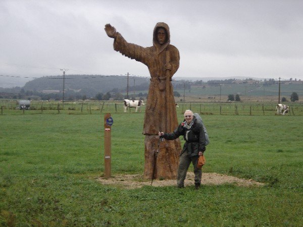 John next to a statue of the pilgrim St. Jacque.
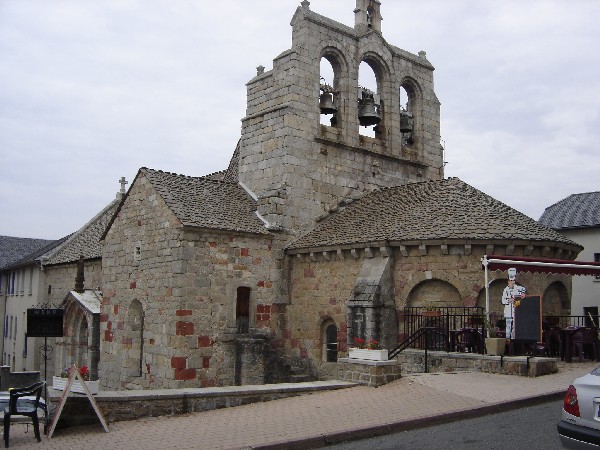 The church in St. Alban.
 A group of French pilgrims in the Gite d’etape Ferme du Barry in the town of Aubruc. We had very pleasant evening conversations.
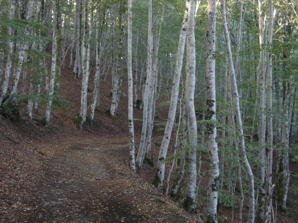 The trail passed through this grove of birch trees.
 The village of Nasbinals.
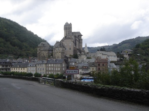 The town of Estaing where I spent a night.
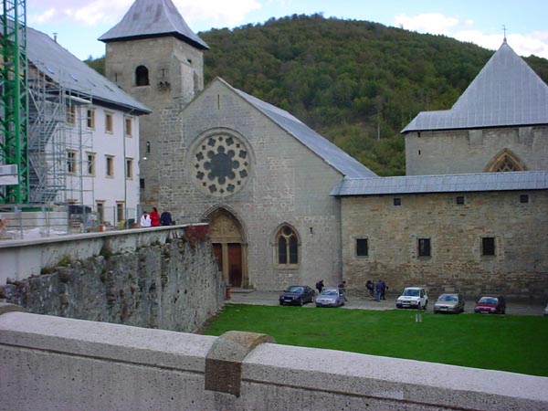
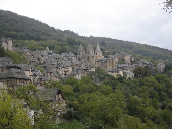 The village of Conques where I spent a night. This is a beautiful medieval town which involves the legend of the martyred Sainte Foy. Her relics are kept here in the Sainte-Foy Abbey church.
 A farm house along the way.
 The gite in the village of La Planquette. This was a cow barn that was converted to agite for pilgrims.
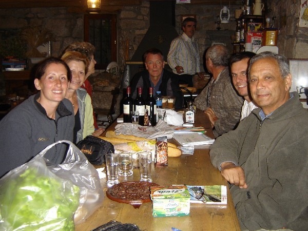
 Having dinner with fellow pilgrims in the village of Beduer which we walked to from the village of La Planquette. One couple was from Belgium and the other couple was from Paris.
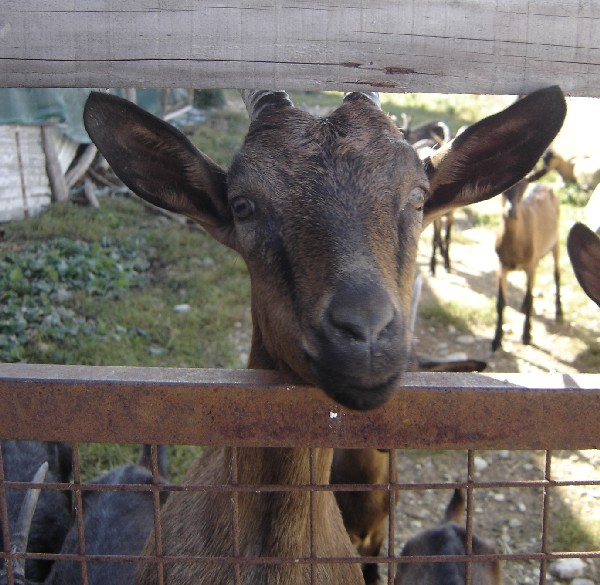
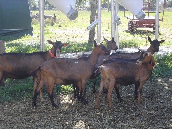 Goats at a farm that specialized in making goat cheese.
The Monastere des Filles de Jesus where I spent a night. My friend Georges made reservations for us. We had great meals and comradarie with other pilgrims that were staying there.
 The group of pilgrims that spent the night at the Monastere. They were from Belguim, France, and the German and Italian parts of Switzerland.
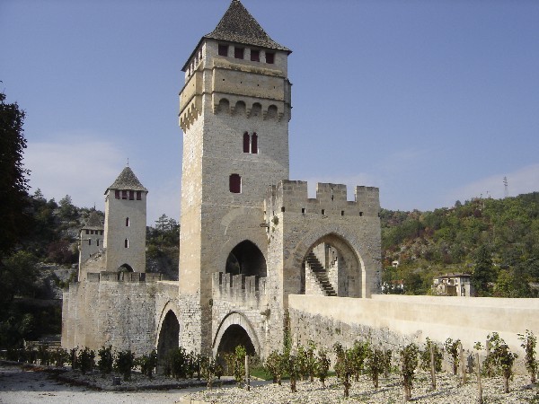 The medieval bridge in the city of Cahors. I had a day of rest in Cahors and did laundry.
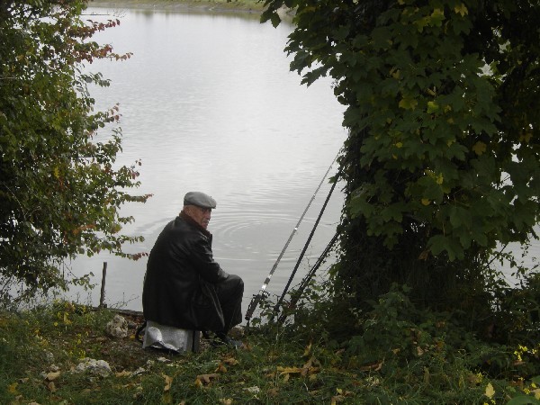 A fisherman along the banks of the canal La Garonne that passes through the town of Moissac.
A group of us spent a night at Ferme de Marsan, a duck farm. We enjoyed a variety of canned duck products that were for sale at the farm. The 3 women were (left to right) from France, Belgium, and Australia.
A picturesque church and grave yard.
 Approaching the Pyrenees Mountains.
 Sheep being herded from their pasture.
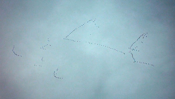 Flocks of storks heading to their wintering grounds in Africa.
 Entering the final goal, the town St. Jean Pied de Port located near the Spanish border.
The river flowing through St. Jean Pied de Port.
This portion of the camino was 720 km (450 miles) and was completed in 39 days of walking.
Camino de Santiago
Fribourg, Switzerland to Le Puy-en-Velay, France.
On 12 September 2006, I flew from California to Geneva, Switzerland and then took a train
north to Fribourg. After a night in Fribourg, I began the long walk to Le Puy, France.
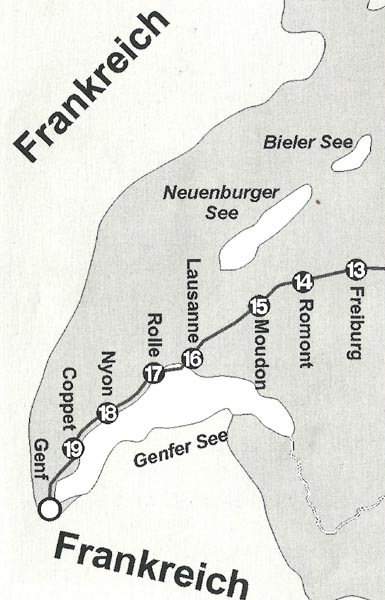 A diagram of the route between Fribourg and Geneva. The distance between each of the numbered circles is approximately one day of walking. Although this diagram is in the German language, the route illustrated is through French speaking Switzerland.
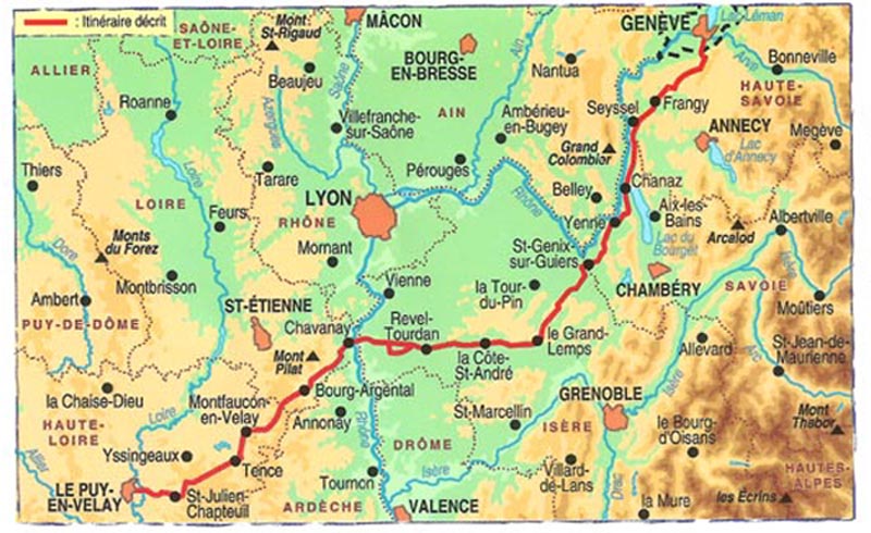 A diagram showing the route between Geneva and Le Puy.
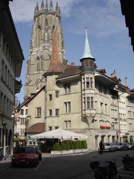
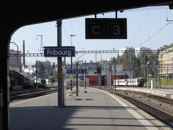 The Fribourg train station. Fribourg is on one of Switzerland’s linguistic boundries. People speak German to the north of the city, French to the south of the city, and both languages in the city.
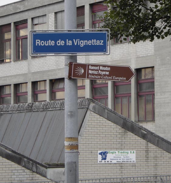 Route sign post on the way out of Fribourg.
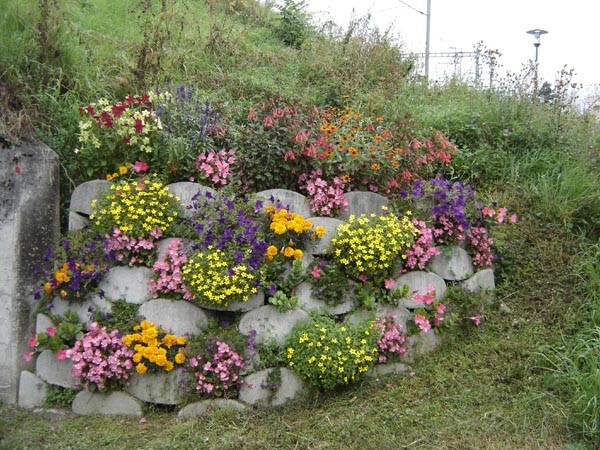
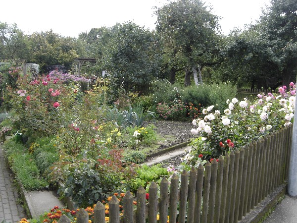
One of the many flower gardens seen during the walk.
 I met Horst and Nina shortly after leaving Fribourg. They are from Koln, Germany.
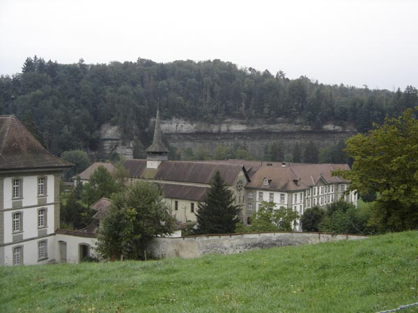 The Abbey Hauterive.
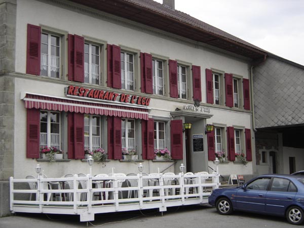
The hotel in Autigny where I spent the first night after leaving Fribourg. I had a great cheese fondue and wine with Horst and Nina along with delightful conversations.
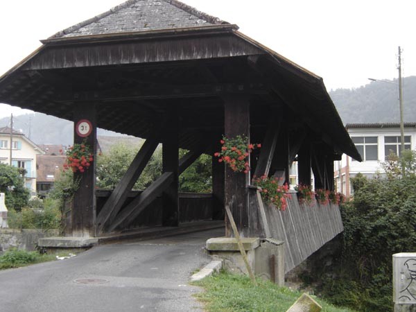 A picturesque covered bridge.
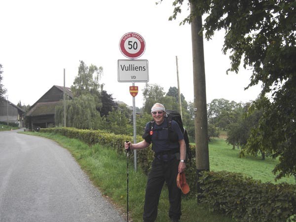 John passing through the village of Vulliens
 A group of Swiss hikers from Winterthur. I walked with them on a very rainy day along Lake Geneva from Lusanne to Morges.
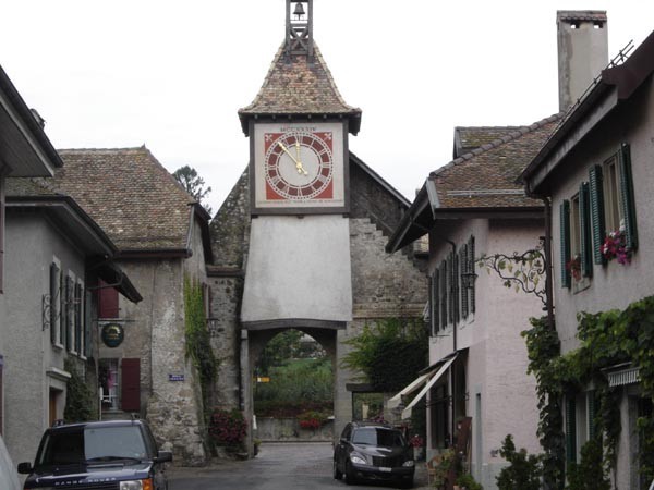 A clock tower in a village along Lake Geneva.
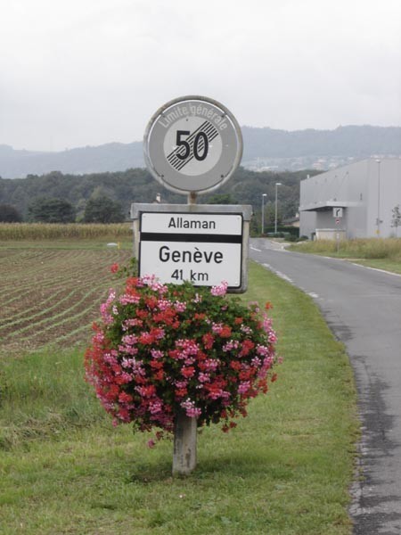 A sign post on the way to Geveva.
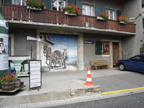 A vintner’s establishment.
 Vineyards along Lake Geneva.
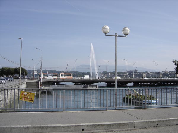 Part of the Geneva harbor and the famous shooting fountain. You enter France once one leaves the city limits of Geneva.
 Passing through the town of Designy.
A colorful arrangement of garden flowers.
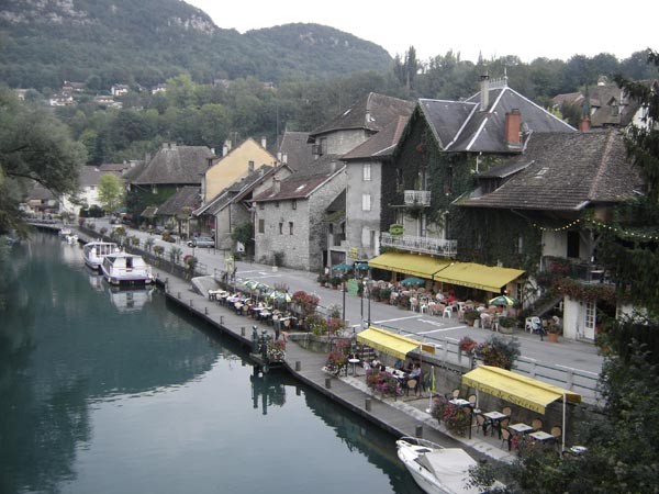
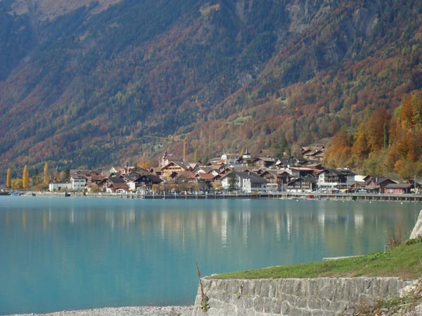
A view of the village of Chanaz where I spent a night. The village is located on a canal in a resort area where there is a lake and canals.
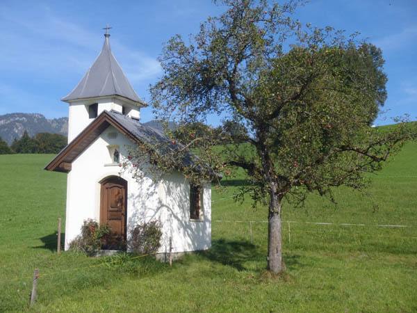
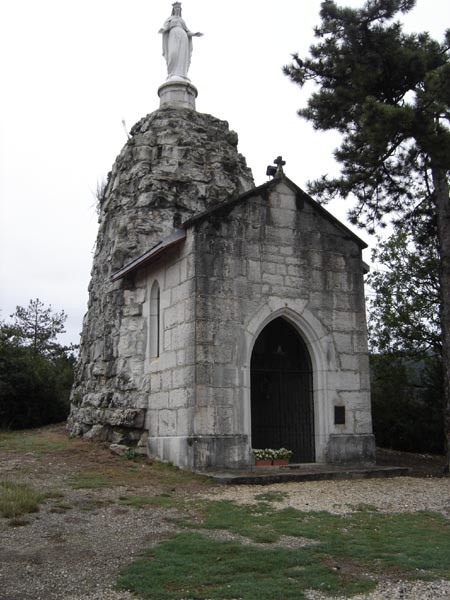 A trail side chapel.
 A village with an unusual name.
 A picturesque stand of trees.
 Hello!.
 I spent a night at Mario’s bed and breakfast outside of Bourg Argental. He was quite the character and I enjoyed my time with him. He prepared a dinner for me which consisted of only things that he grew, were wild, or were home made. Of course the meal included plenty of home made red wine.
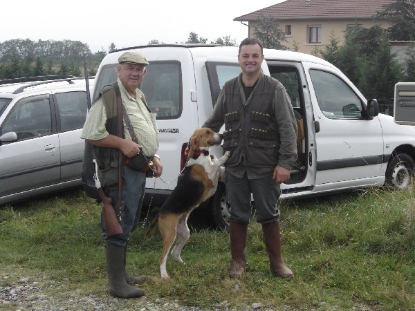
Hunters and their hound.
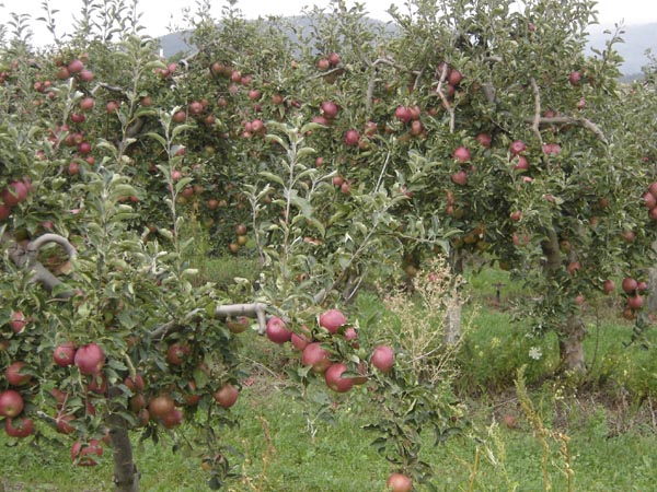 Fruit tree orchards were plentiful in this area.
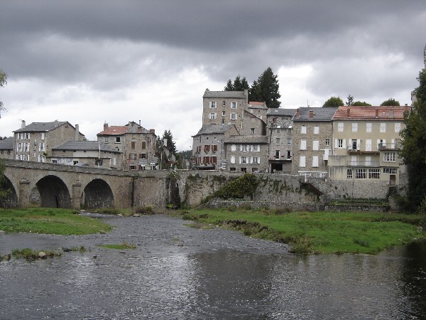 A gloomy day in town.
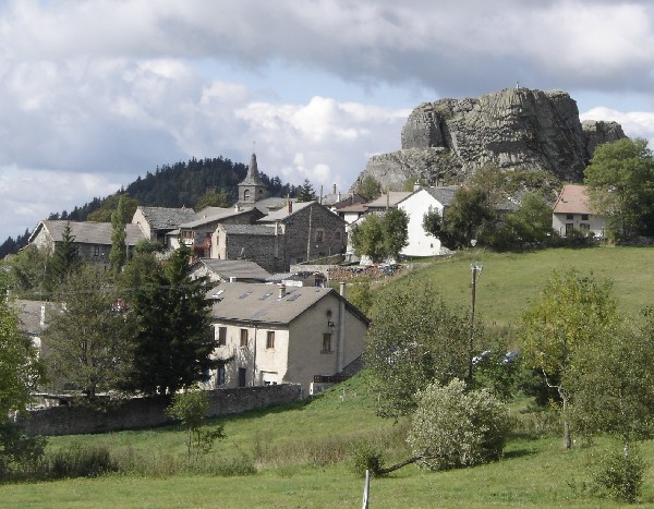 A quaint village.
 A view of Le Puy en Velay off in the distance and the old volcano peaks that the area is noted for.
 The medieval bridge at the entrance to Le Puy en Velay.
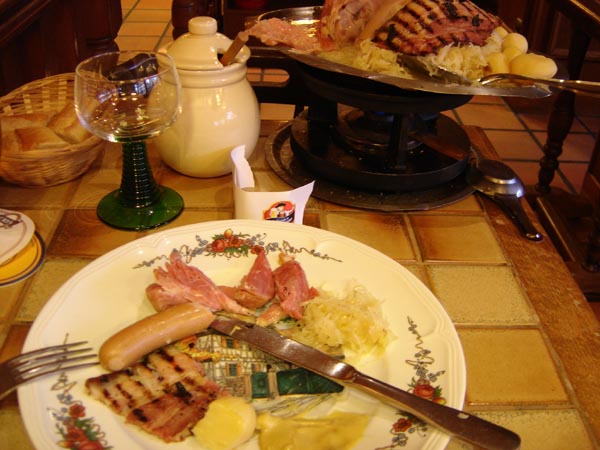 My reward (Choucroute and Pork and a beer) for the hard days on the trail.
I required 23 days to walk the approximately 333 miles (536 km)
Camino de Santiago
Ulm, Germany to Fribourg, Switzerland
On 3 September 2007, I flew from California to Frankfurt, Germany and then took a train to Ulm. After one night in Ulm, I started my walk the next day to Fribourg, Switzerland.
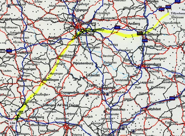
 The high lighted yellow line is the approximate route of the Camino de Santiago which is
called “JacobsWeg” in the German language. Ulm, Germany is in the upper right corner
of the map while Fribourg, Switzerland is in the bottom left corner.
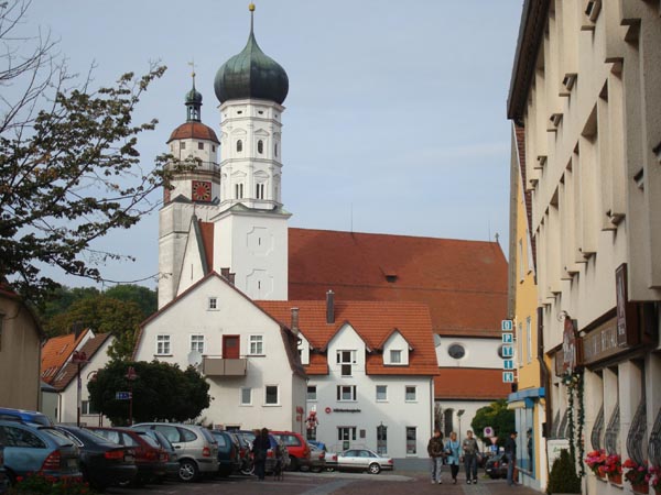
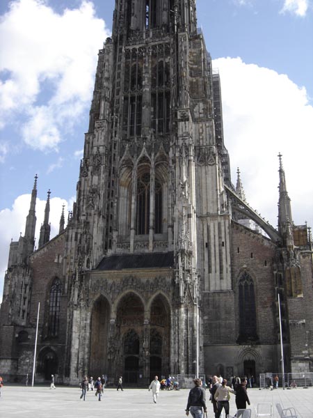 The cathedral in the center of Ulm.
 The view of the city as I headed southward out of town.
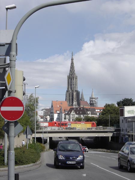 A view of the cathedral spire and the city of Ulm from the outskirts of the city.
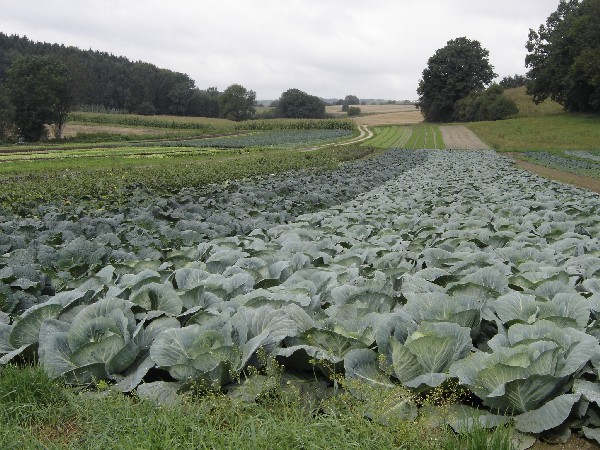 A farmer’s country garden.
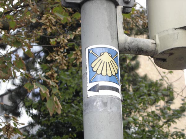 A typical Camino sign in this part of Germany.
 Some curious friends that I met on the trail.
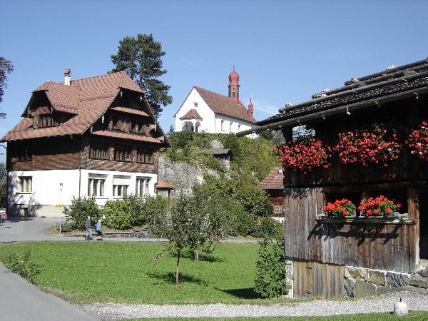
 A colorful garden and house.
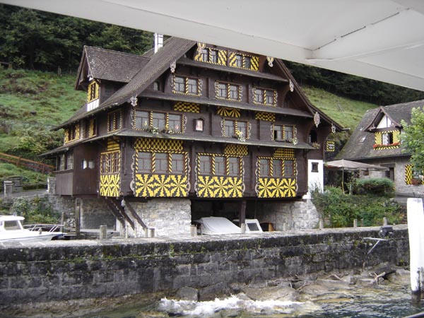
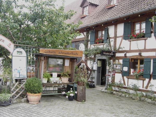 Marie and Gerhard’s gasthof in Steinhausen
 The old part of the city of Bad Waldsee.
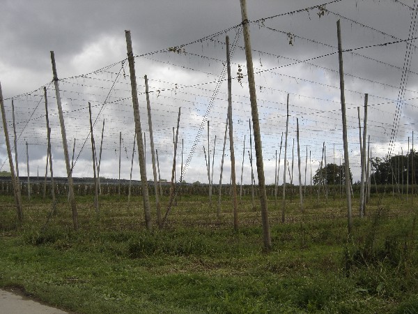 The support structure for growing hops.
 The Meersburg water front from which the boat departs to cross the Bodensee to Konstanz.
 The harbor statue in Konstanz.
 The Swiss/German border at the Konstanz city limits.
 It is time for a hair cut.
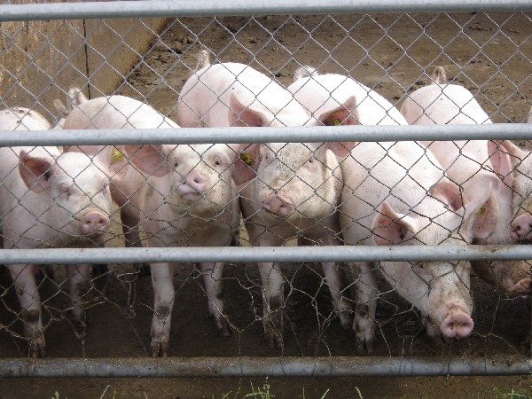
 A swiss cow with its bell. The bell consort of a herd of cows can be heard a long distance away.
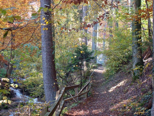
A stroll through the woods.
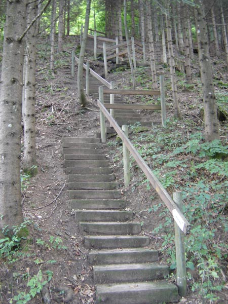 A steep climb along the way.
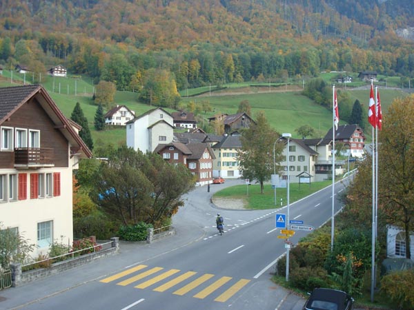
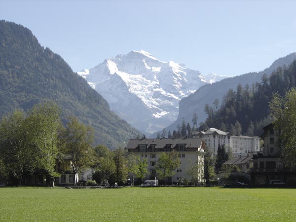
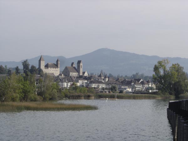 A view of the town of Rapperswil on the Zurichsee.
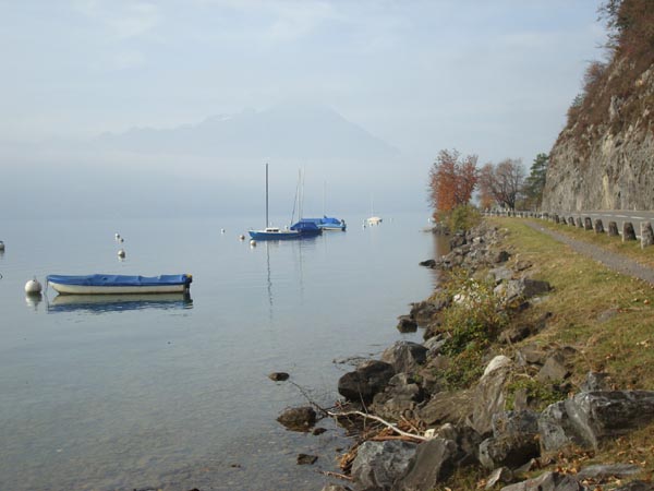
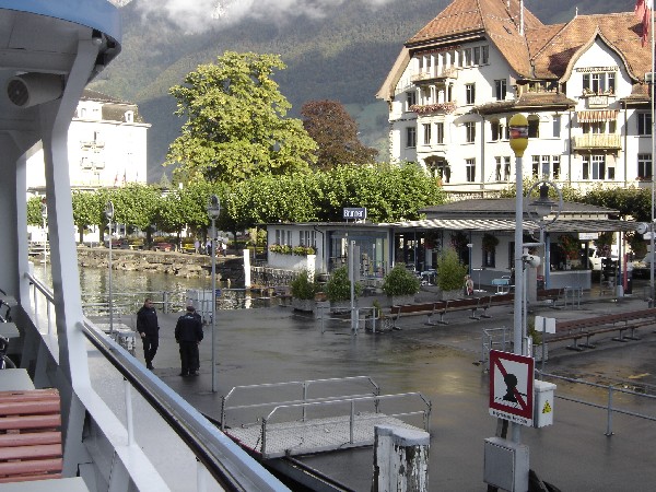 The dock at Brunnen on the Vierwaldstaettersee.
 In order to continue on walking one has to take a boat from Brunnen across a narrow portion of the Vierwaldstaettersee to Treib.
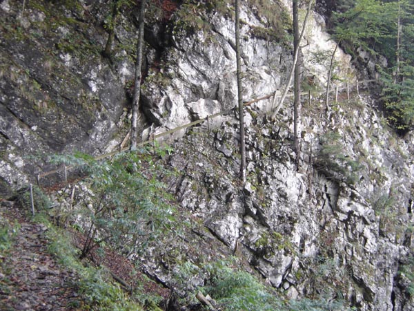 The trail along the southern shore of the Vierwaldstaettersee is nail biting in places.
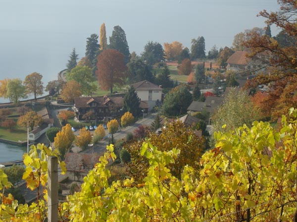
 The village of Flueli-Ranft which is a popular pilgrimage destination.
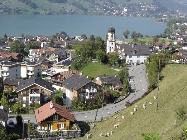 The town of Sachseln on the Sarnersee.
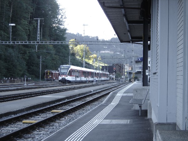 The Giswil train station where I terminated this walk.
I traveled for xx days but had to stop the walk short of Fribourg due to lack of time. I terminated the walk at Giswil and took a train to Brienz and then went to Interlaken and Thun via boat along the Brienzer See and Thuner See. I went from Thun to Fribourg by train. The total walking distance was approximately xxx miles (xxx km).
Camino de Santiago
Czech/German border (Tillyschanz) to Ulm, Germany
On 1 September 2008, I flew from California to Muenchen, Germany. I took a bus to Freising where I boarded a train to the city of Weiden. From Weiden, I went by bus to the town of Eslarn which is near the German border with the Czech Republic. After taking a room in Eslarn, I walked the 4 km to Tillyschanz and returned to Eslarn for the night. I began my walk to Ulm the following morning.
 The high lighted yellow line is the approximate route of the Camino de Santiago which is called “JacobsWeg” in the German language. Tillyshanz, Germany is in the upper right corner of the map while Ulm is in the bottom left corner.
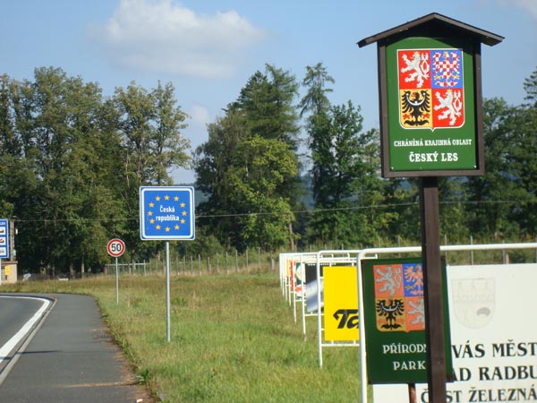 The Czech border with Germany at Tillyschanz.
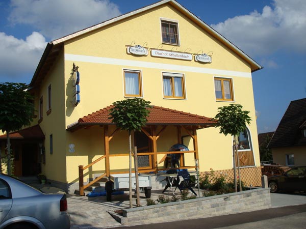 The GastHaus that I spent the night in Eslarn.
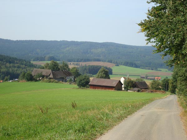
A view of the country side just outside of Eslarn.
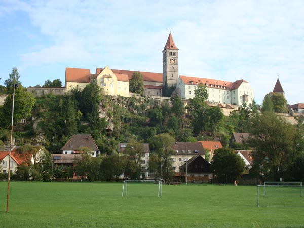 The Benedictine Kloster in the town of Kastl.
 I met Erhard and Magdalena last year on the Jacobsweg the first day out of Ulm. They live in a town east of Nurnberg. Erhard joined me in Feucht for the walk to Schwabach. Magdalena came by auto to pick up Erhard that afternoon. We had a lovely reunion dinner that evening.
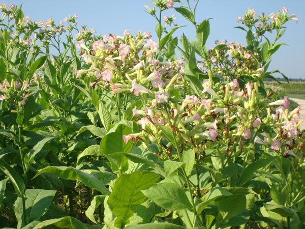 To my surprise and disappointment, tobacco plants were grown in abundance south of the city of Schwabach.
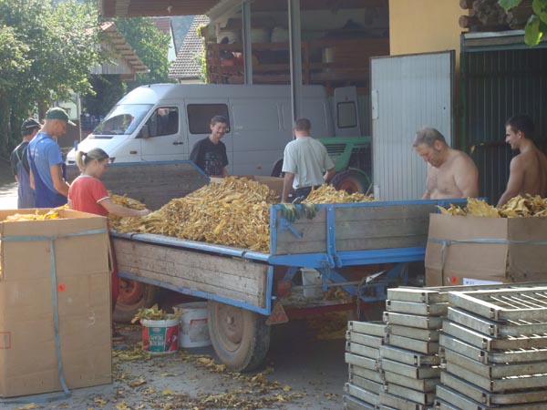 After the leaves were dried in sheds, it was tobacco processing time.
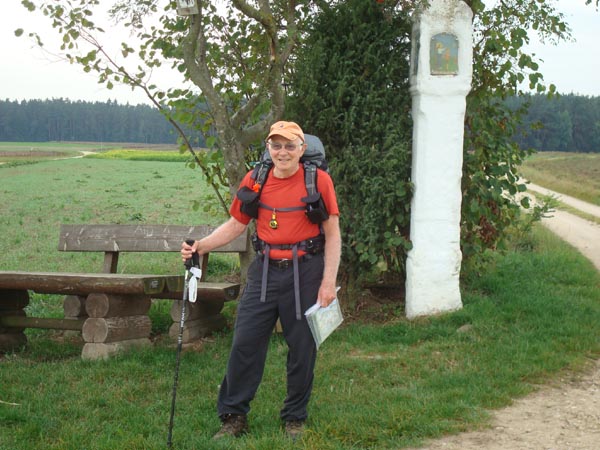
John at “Die Weise Saule”.
 After 10 days of walking, I came upon this distance marker.
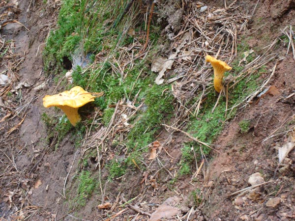 The much prized Pfiferling mushroom which can only be found in the wild.
 A well covered (but colorful) house of vines.
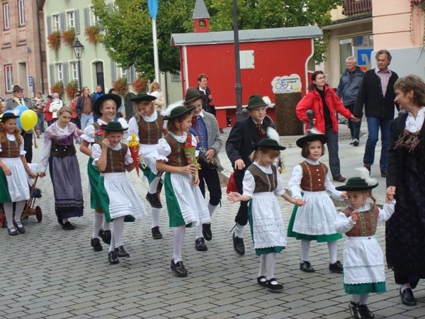 A portion of a colorful parade in Gunzenhausen.
 A part of the city center in the city of Nordlingen.
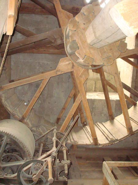 The ancient wooden clock works in the bell tower of the cathedral in the city of Nordlingen.
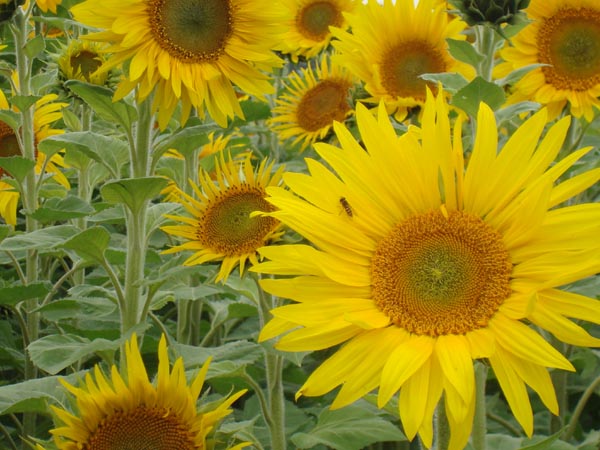
One of a number of fields of sunflower plants that I came across.
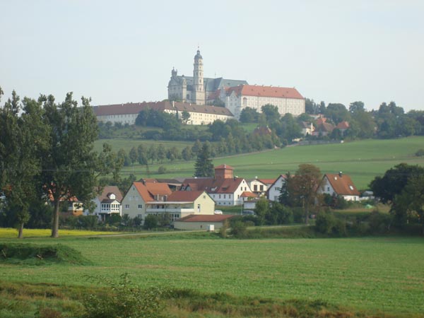 The Kloster Neresheim where I spent a night.
 One of the churches in the city of Giengen.
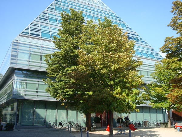 The modern well stocked library in the city of Ulm.
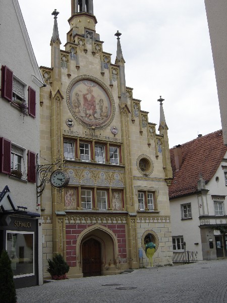
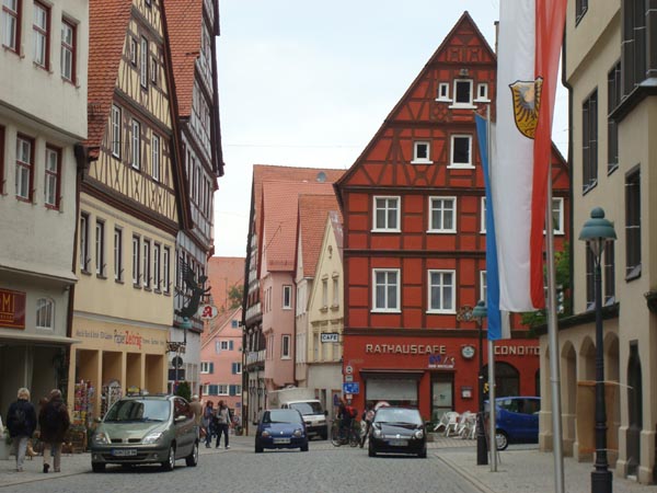
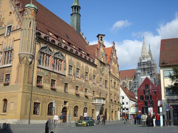 The colorful Ulm Rathaus.
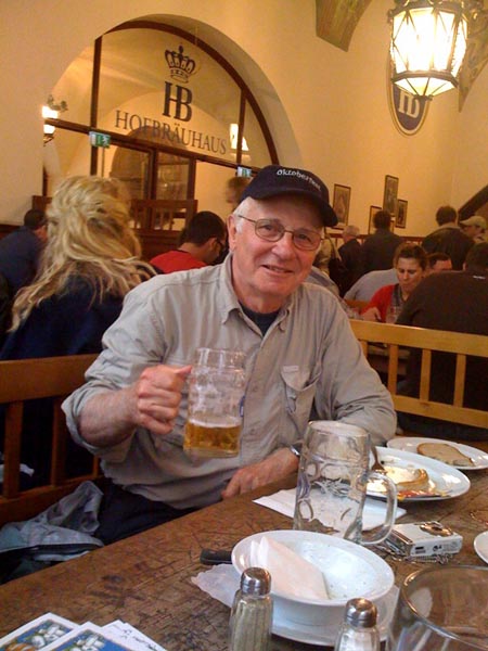 When I returned to Muenchen for my flight back to California, I was pleasantly surprised to find that I arrived right in the middle of the Oktoberfest activities.
It took me 18 days to walk the approximately 250 miles (400 km) to Ulm.
Camino de Santiago
Giswil, Switzerland to Fribourg, Switzerland
During my trip between Ulm, Germany and Fribourg, Switzerland in September 2007, I was not able to walk all the way to Fribourg due to scheduling problems. I had underestimated the time that it would take between Ulm and Fribourg and hence had to quit short of my goal at Giswil, Switzerland. I took trains and boats from Giswil to Fribourg.
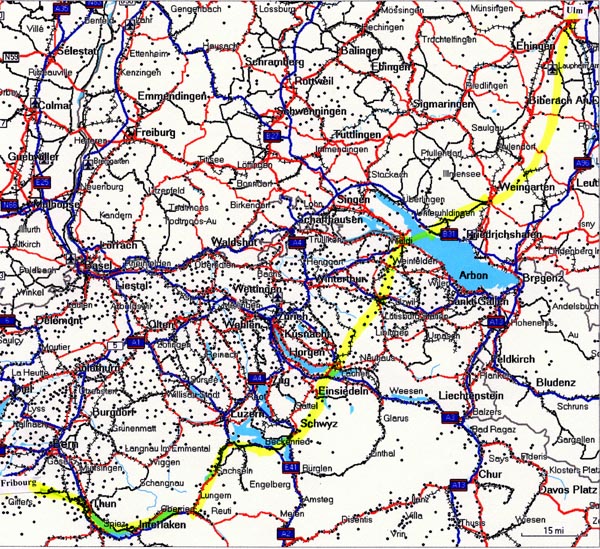
I was very keen on completing the entire distance from Tillyschanz to Santiago by foot so decided to return to Switzerland On 25 October 2009 and complete the portions that I could not on the previous trip. I flew from California to Zurich, Switzerland. I took a train to Einsiedeln, Switzerland in order to cross the Haggenegg pass (the highest point on the Swiss Jacobsweg, 1414m or 4638 ft) which I could not do on the previous trip because of a rainstorm. After completing the walk from Einsiedeln to Schwyz, I took a train to Giswil which was where I terminated my walk in September2007.
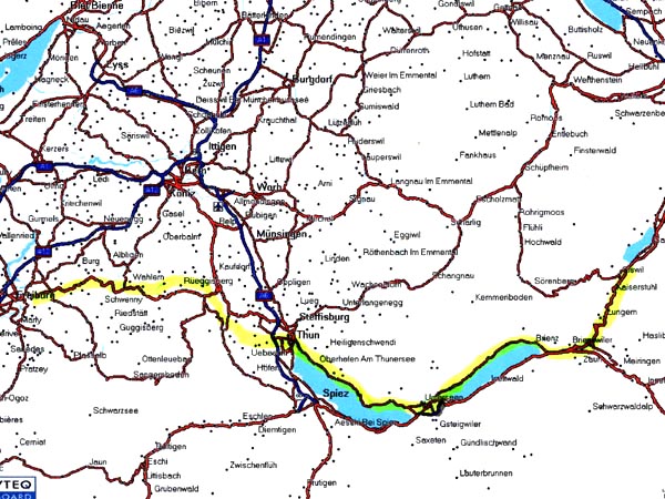
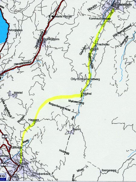 “JacoThe high lighted yellow line is the approximate route of the Camino de Santiago which is called bsWeg” in the German language. The Haggenegg pass is located between Einsiedeln and Schwyz which can be seen on the map.
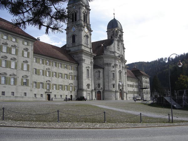 A photograph of the Kloster in Einsiedeln. After arriving here by train in the afternoon, I walked to Alpthal where I spent the night.
 The following morning I was ready to head up to the pass in absolutely perfect walking weather. The climb to the pass was approximately 418 m (1371 ft).
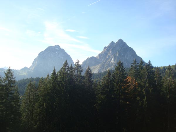 A view of the two Mythen peaks which are landmarks of this area.
 The Haggenegg Gasthaus situated at the pass. I treated myself to a coffee with schnapps before heading down to Schwyz.
 A view of the valley below and the steep descent to the valley floor. Schwyz is located on the left and Brunnen on the Vierwaldstatter See is located in the upper right.
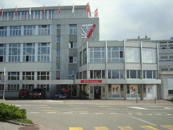 The Victorinox Swiss Knife factory in Schwyz where all of the “Swiss knives” are made.
 After arriving in Schwyz, I took a train directly to Giswil where I planned to start my walk to Fribourg. The Brunig pass is between Lungern and Brienzwiler.
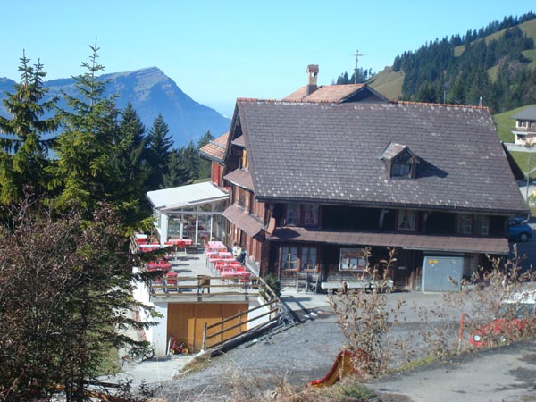
 A view of part of the town of Giswil taken from my hotel room. From here the climb to the Brunig pass which is at an elevation of 1007 m (3303 ft) is 522 m (1712 ft). The trains through this region stop in Giswil so that they could be pulled over the pass with cog wheeled engines.
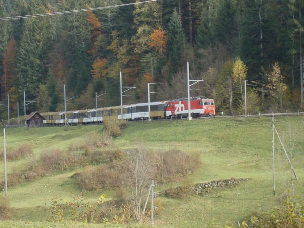 A cog wheeled train on its way up to the Brunig pass.
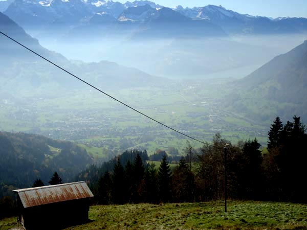
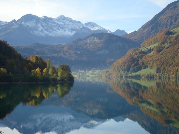 The Lungerner See as seen from the town of Kaiserstuhl. The Brunig pass is behind the tree covered mountain in the center of the picture.The town of Lungern is at the far end of the lake.
 The village of Lungern.
 Young families taking an afternoon walk along the cog wheel railroad tracks near the Brunig Pass.
 Some of the buildings at the Brunig Pass.
 A portion of the trail down to Brienz.
 A view of the town Brienzwiler in the center of the photograph and the town of Brienz on the Brienzer See in the upper right. Jacobsweg parallels the lake in the distance.
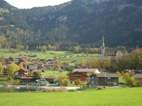
 The town of Brienz.
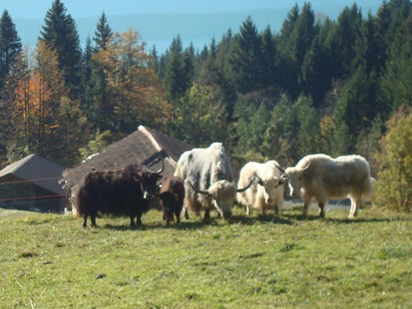 The trail passes a family of yaks which are cared for at a farm outside of Brienz.
 A view from the lake looking back at Brienz and the Brunig pass region.
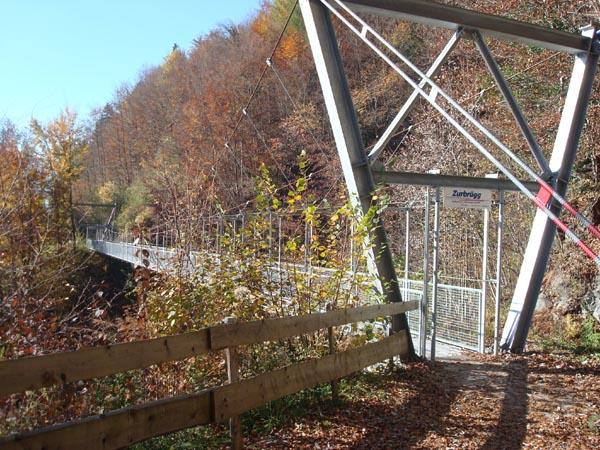 Jacobsweg passes over a cable bridge which spans a deep mountain gorge. This portion of the trail is a popular hiking place for the local population. The bridge is closed in winter.
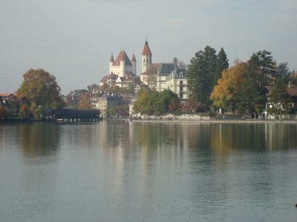
 A view of the Jungfrau from the town of Interlaken. Interlaken is situated between the Thuner and Brienzer Sees and is a very popular tourist area.
 A view of the Thuner See shoreline on the way out of Interlaken.
 A village along the Thuner See shore line.
 Entering the city of Thun
 A covered bridge and the outlet of the Thuner See in the city of Thun.
 The trail leading to the town of Riggisberg.
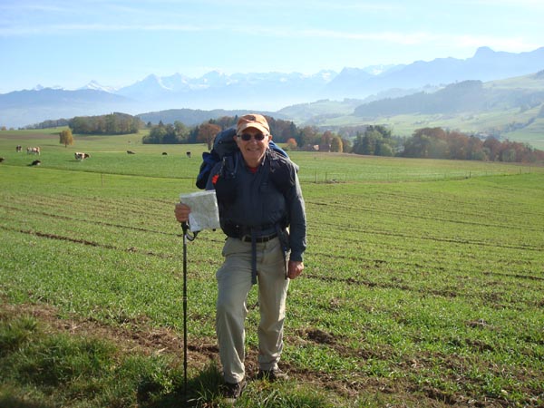 Open pasture land between Riggisberg and Rueggisberg with the alps off in the distance.
 The village of Rueggisberg.
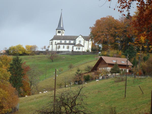 The church in St. Antoni.
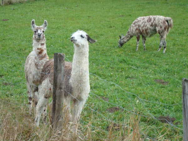 A family of llamas between St. Antoni and Tafers.
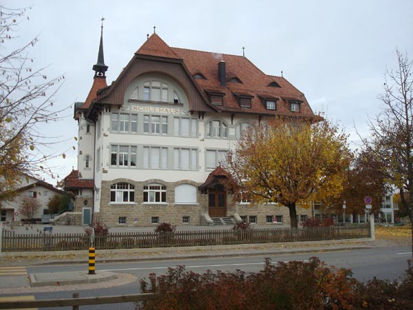 The school house (Schul Haus) in Tafers.
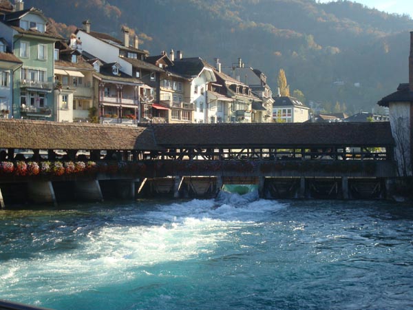
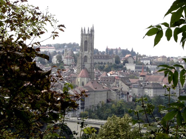 A view of the city of Fribourg as the trail enters the city. French is the main language spoken in Fribourg.
It took me 8 days of leisurely walking to cover the approximately 90 miles (144 km) of these two portions of the Camino.
Camino de Santiago
Linz, Austria to Innsbruck, Austria
On 12 September 2010, I flew to Muenchen and then took a train to Linz, Austria where I began my walk to Innsbruck.
The high lighted orange line is the approximate route between Linz and Salzburg of the Camino de Santiago which is called “JakobsWeg” in the German language.
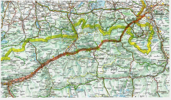 A map showing the approximate route of Jakobsweg between Salzburg and Innsbruck. The yellow line is the border between Germany and Austria.
 The town center of the city of Linz.
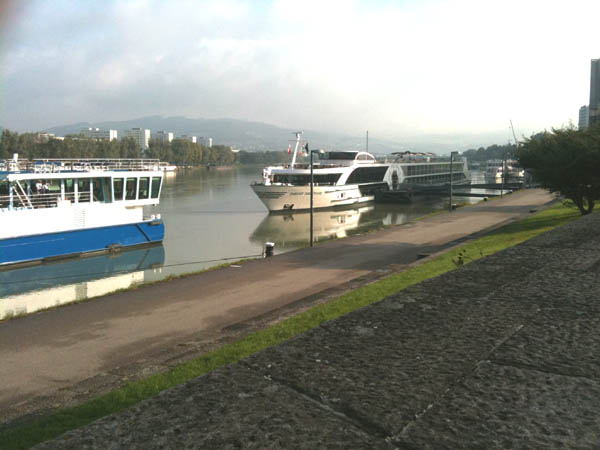 The city of Linz is located on the Danube River. River cruise boats moored at the docks.
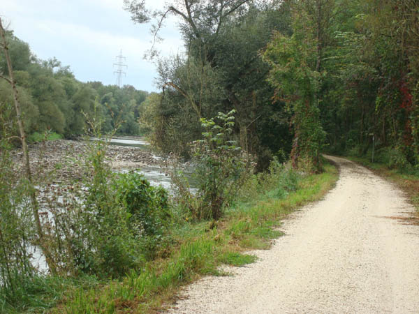 The trail leading to Lampach along the Traum River.
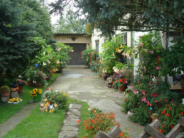 A colorful flowered yard and house.
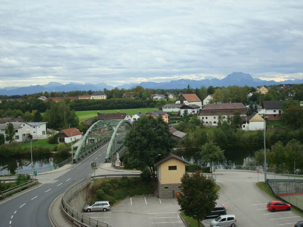 The Traum River and country side as viewed from a high point in Lampach.
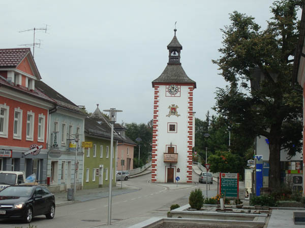 The town tower in Timelkam.
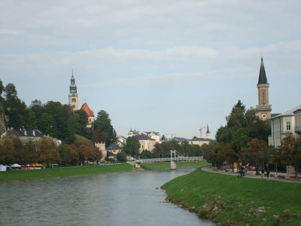 A view of the Salzach River as it flows through Salzburg.
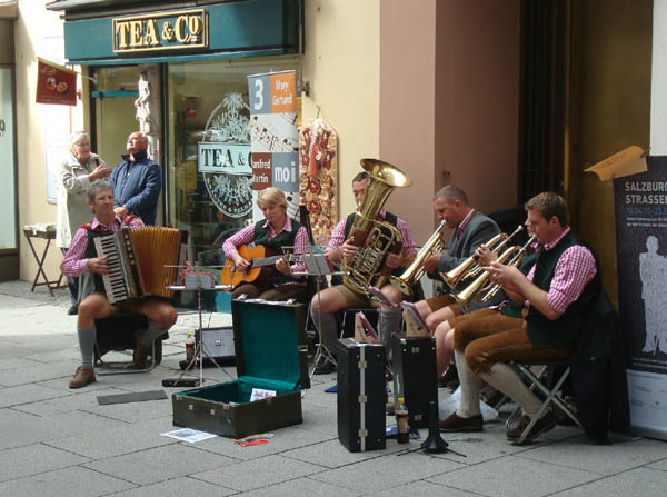 Street musicians in the old part of Salzburg.
 A country side GastHaus.
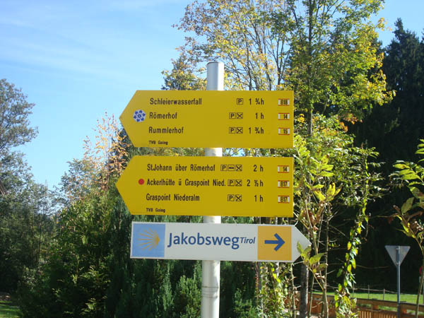 A typical Jacobsweg sign post in the Tirolian part of Austria.
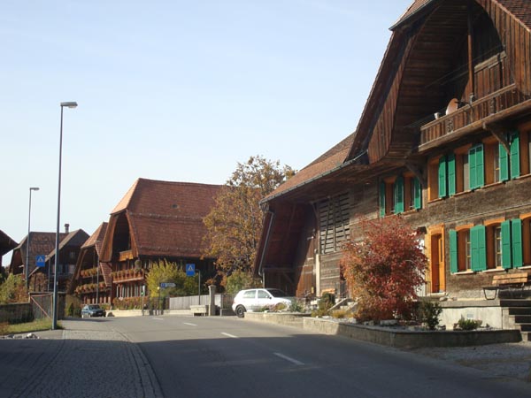
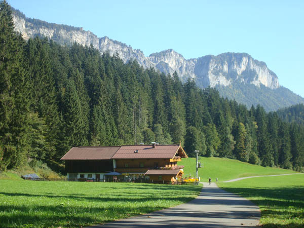
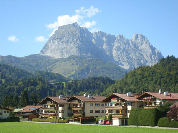 An Austrian Village.
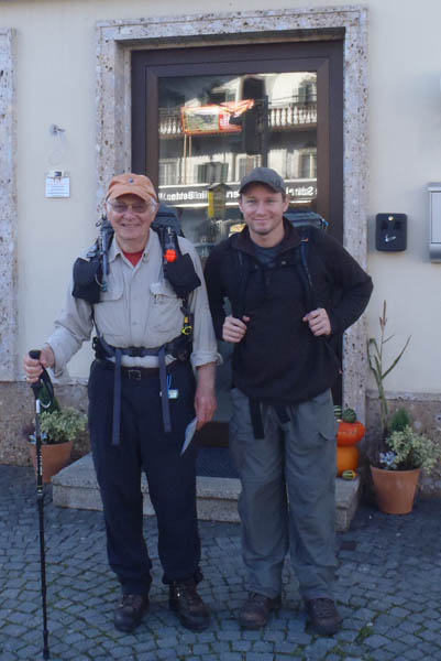 Our son Greg, who was in Muenchen on business, joined me in Woergl for the remainder of the walk to Innsbruck.
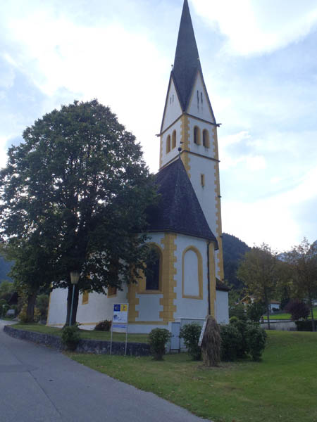
 A way side chapel.
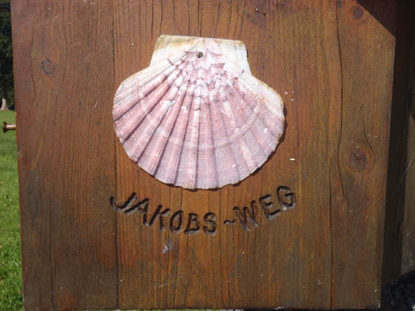 A Jakobsweg shell seen along the way to Innsbruck.
 The trail leading to the town of Strass.
 A church and Jakobsweg sign post on our way to Innsbuck.
 Some very talented youg ladies.
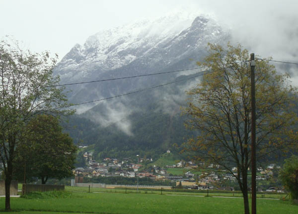 We experienced a cool day on our way into Innsbruck.
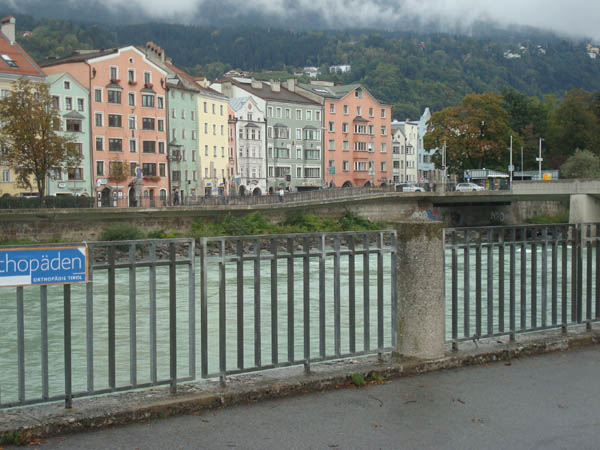 The Inns River which flows through Innsbruck.
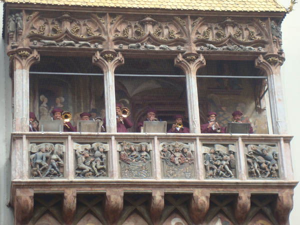 A brass ensemble entertains the visitors to Innsbruck’s old town.
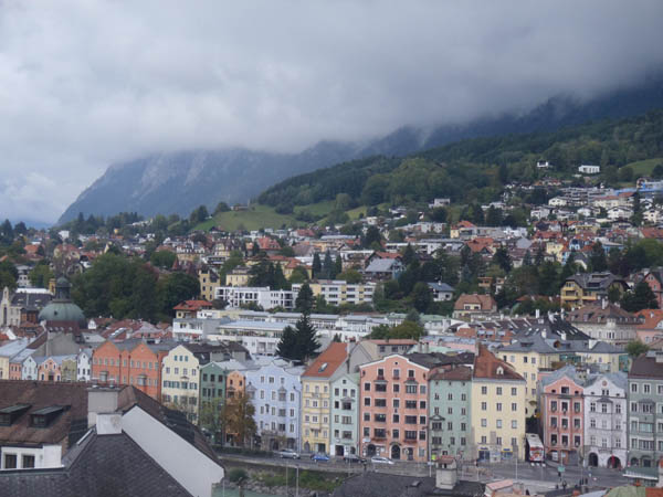 A view of a part of Innsbruck from the tower in the old town of Innsbruck.
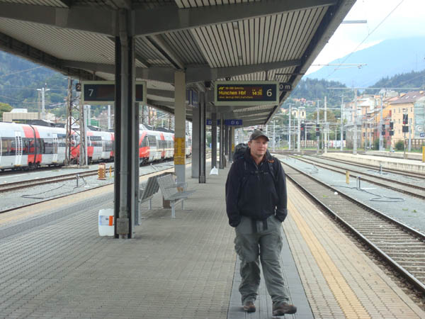 Greg at the Innsbruck train station as we prepare to leave for Muenchen.
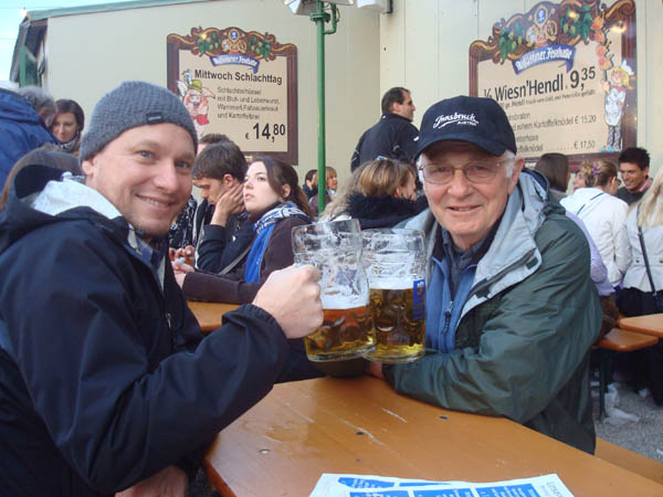 Greg and I took the train to Muenchen from Innsbruck and spent two days celebrating Oktoberfest before flying home.
It took me 12 days of walking and occasional public transportation to cover the approximately 200 miles (320 km) of this portion of the Camino.